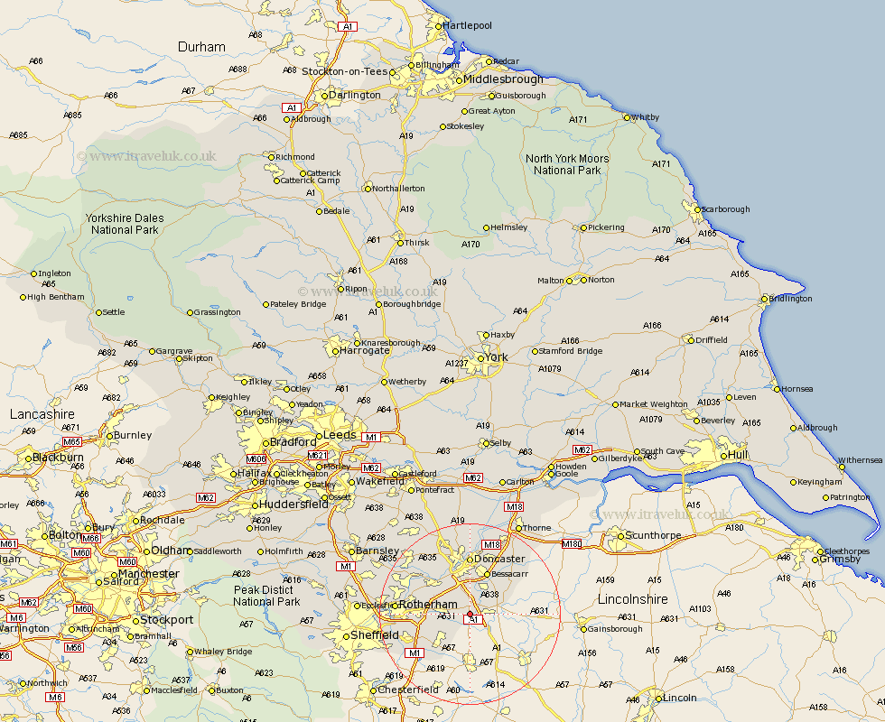
Yorkshire Map Showing Location of Tickhill
Population: 5421
Area Size (ha): 145
District: Doncaster
Easting: 458701 Northing: 391491
Latitude: 53.42 Longitude: -1.12
 = Tickhill
Area Size (ha): 145
District: Doncaster
Easting: 458701 Northing: 391491
Latitude: 53.42 Longitude: -1.12
= Tickhill
This Tickhill map below is supplied by Google. Use the tools in the top left corner to zoom into street level or zoom out for a road map, you may also need to zoom in to see Tickhill on the map. Click and drag the map to move around. If the map fails to load try and refresh your browser or zoom in or out (+ or -).
Update - it seems Google no longer allow people to use their maps for free! This Tickhill map sometimes loads and sometimes gives a error. I am working on a solution.
Closest 30 Towns or Cities to Tickhill (Population over 500)
Maltby 5.52km Bawtry 5.52km Braithwell 5.82km Wadworth 5.98km Wadsworth 5.98km Rossington 6.47km Dinnington 7.84km Anston 7.9km Austerfield 7.95km Woodsetts 8.12km Conisbrough 8.64km Conisborough 8.64km Bramley 9.94km Bessacarr 10.06km Warmsworth 10.26km Cantley 10.26km Finningley 10.44km Brampton 10.61km Brampton en le Morthen 10.61km Brampton en le Morthern 10.61km Sprotboro 10.78km Sprotbrough 10.78km Wickersley 11.04km Auckley 11.39km Todwick 11.54km Mexborough 12.39km Thrybergh 12.7km Thorpe Salvin 12.95km Doncaster 12.96km Bentley 13.15km