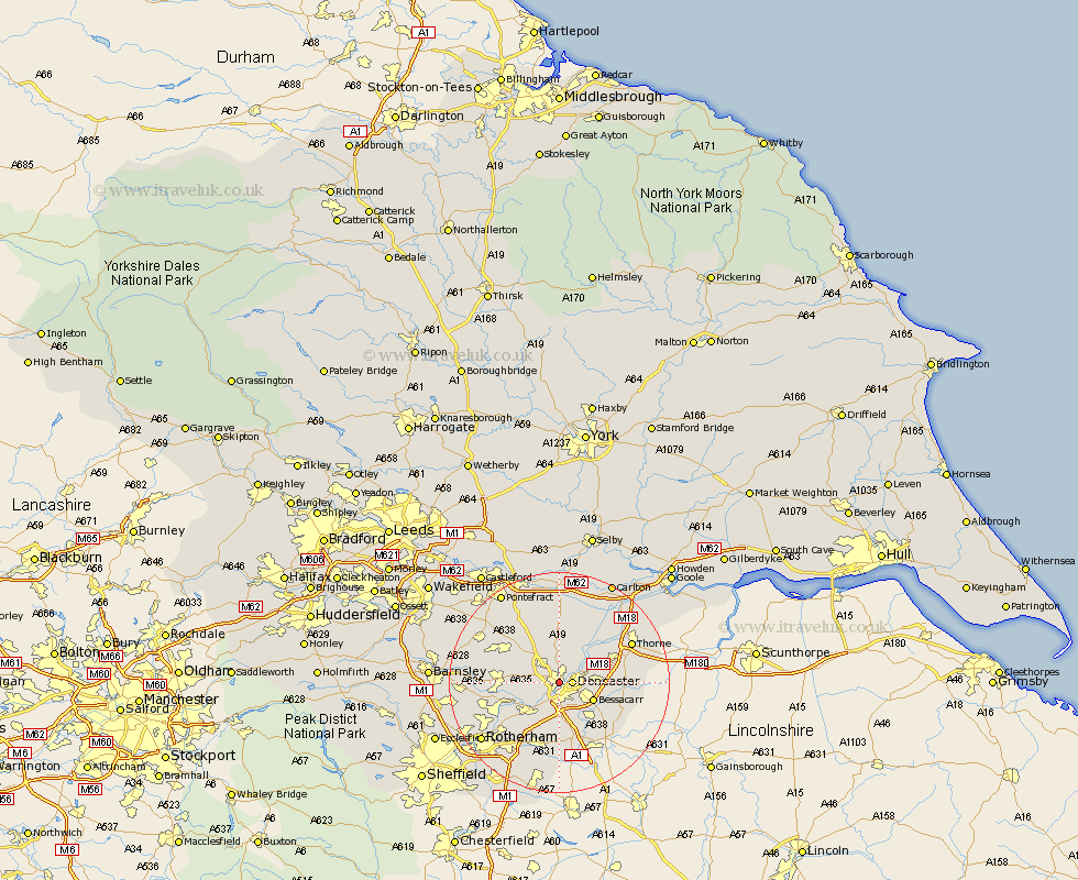
Yorkshire Map Showing Location of Bentley
Population: 32046
Area Size (ha): 807
District: Doncaster
Easting: 456332 Northing: 404438
Latitude: 53.53 Longitude: -1.15
 = Bentley
Area Size (ha): 807
District: Doncaster
Easting: 456332 Northing: 404438
Latitude: 53.53 Longitude: -1.15
= Bentley
This Bentley map below is supplied by Google. Use the tools in the top left corner to zoom into street level or zoom out for a road map, you may also need to zoom in to see Bentley on the map. Click and drag the map to move around. If the map fails to load try and refresh your browser or zoom in or out (+ or -).
Update - it seems Google no longer allow people to use their maps for free! This Bentley map sometimes loads and sometimes gives a error. I am working on a solution.
Closest 30 Towns or Cities to Bentley (Population over 500)
Doncaster 2.2km Warmsworth 4.31km Carcroft 4.32km Adwick le Street 4.32km Kirk Sandall 4.78km Sprotbrough 4.97km Sprotboro 4.97km Armthorpe 6.61km Bessacarr 6.61km Barnby Don 6.64km Barnby Dun 6.64km Wadsworth 7.41km Wadworth 7.41km Sutton 7.49km Cantley 7.58km Fleckney 7.71km Brodsworth 7.93km Conisborough 8.63km Conisbrough 8.63km Rossington 9.23km Askern 9.33km Mexborough 9.51km Campsall 9.53km Auckley 9.56km Dearne 9.91km South Elmsall 10.41km Stainforth 10.69km South Kirkby 10.84km Norton 11.33km Moorthorpe 11.36km