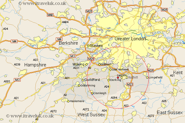
Surrey Map Showing Location of Betchworth
Population: 919
District: Mole Valley
Easting: 522164 Northing: 149747
Latitude: 51.23 Longitude: -0.25
 = Betchworth
District: Mole Valley
Easting: 522164 Northing: 149747
Latitude: 51.23 Longitude: -0.25
= Betchworth
This Betchworth map below is supplied by Google. Use the tools in the top left corner to zoom into street level or zoom out for a road map, you may also need to zoom in to see Betchworth on the map. Click and drag the map to move around. If the map fails to load try and refresh your browser or zoom in or out (+ or -).
Update - it seems Google no longer allow people to use their maps for free! This Betchworth map sometimes loads and sometimes gives a error. I am working on a solution.
Closest 30 Towns or Cities to Betchworth (Population over 500)
Reigate 2.32km Leigh 3.88km Mickleham 5km Tadworth 5.68km Redhill 5.8km Dorking 6.09km Salfords 6.88km Westcott 7.2km Leatherhead 7.24km Holmwood 7.25km Horley 9.41km Nutfield 9.47km Charlwood 9.55km Newdigate 9.55km Wotton 10km Bletchingley 10.44km Effingham 10.61km Banstead 10.94km Oxshott 11.59km Abinger 11.84km Capel 12.05km Caterham 12.18km Godstone 12.76km Horsley 12.9km East Horsley 12.9km Ockley 13.12km West Horsley 14.41km Claygate 14.72km Horne 14.77km Whyteleafe 14.84km