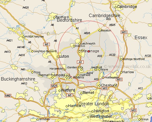
Hertfordshire Map Showing Location of Walkern
Population: 1364
District: East Hertfordshire
Easting: 528367 Northing: 225935
Latitude: 51.92 Longitude: -0.13
 = Walkern
District: East Hertfordshire
Easting: 528367 Northing: 225935
Latitude: 51.92 Longitude: -0.13
= Walkern
This Walkern map below is supplied by Google. Use the tools in the top left corner to zoom into street level or zoom out for a road map, you may also need to zoom in to see Walkern on the map. Click and drag the map to move around. If the map fails to load try and refresh your browser or zoom in or out (+ or -).
Update - it seems Google no longer allow people to use their maps for free! This Walkern map sometimes loads and sometimes gives a error. I am working on a solution.
Closest 30 Towns or Cities to Walkern (Population over 500)
Aston 3.89km Cottered 3.89km Weston 4.35km Benington 4.36km Bennington 4.36km Graveley 4.93km Stevenage 5.72km Wymondley 6km Great Wymondley 6km Datchworth 7.5km Watton 7.76km Watton at Stone 7.76km Letchworth 7.97km Little Munden 7.98km Baldock 8.16km Knebworth 8.17km Buntingford 8.81km Stapleford 9.55km Hitchin 9.86km Codicote 10.1km Braughing 10.46km Ickleford 10.7km Welwyn 10.9km Harmer Green 10.94km Tewin 11.18km Hormead 12.01km Standon 12.02km Thundridge 12.25km Therfield 12.5km Kimpton 12.69km