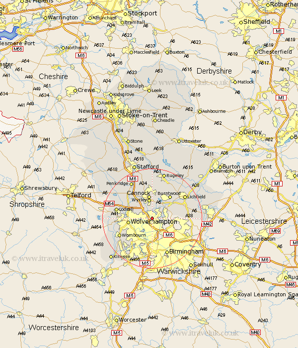
Staffordshire Map Showing Location of Wallsall
Population: 172632
Area Size (ha): 4342
District: Walsall
Easting: 400000 Northing: 300285
Latitude: 52.6 Longitude: -2
 = Wallsall
Area Size (ha): 4342
District: Walsall
Easting: 400000 Northing: 300285
Latitude: 52.6 Longitude: -2
= Wallsall
This Wallsall map below is supplied by Google. Use the tools in the top left corner to zoom into street level or zoom out for a road map, you may also need to zoom in to see Wallsall on the map. Click and drag the map to move around. If the map fails to load try and refresh your browser or zoom in or out (+ or -).
Update - it seems Google no longer allow people to use their maps for free! This Wallsall map sometimes loads and sometimes gives a error. I am working on a solution.
Closest 30 Towns or Cities to Wallsall (Population over 500)
Rushall 3.38km Pelsall 3.85km Aldridge 5.63km Brownhills 5.83km Bilston 5.83km Wyrley 7.79km Great Wyrley 7.79km Wolverhampton 9.2km West Bromwich 9.26km Shareshill 9.31km Cannock 9.33km Norton Canes 9.53km Hammerwich 9.64km Hednesford 11.12km Smethwick 11.12km Huntington 11.35km Burntwood 11.46km Shenstone 11.84km Dudley 12.47km Himley 13.73km Codsall 14km Lower Penn 14.01km Wombourn 14.44km Wombourne 14.44km Brewood 14.57km Longdon 15.18km Lichfield 15.45km Armitage 16.78km Penkridge 16.78km Seisdon 17.29km