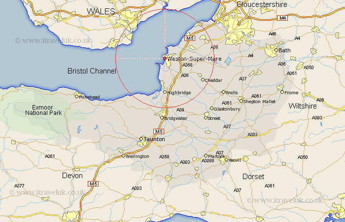
Somerset Map Showing Location of Weston Super Mare
Population: 68830
Area Size (ha): 1751
Easting: 331527 Northing: 161728
Latitude: 51.35 Longitude: -2.98
 = Weston Super Mare
Area Size (ha): 1751
Easting: 331527 Northing: 161728
Latitude: 51.35 Longitude: -2.98
= Weston Super Mare
This Weston Super Mare map below is supplied by Google. Use the tools in the top left corner to zoom into street level or zoom out for a road map, you may also need to zoom in to see Weston Super Mare on the map. Click and drag the map to move around. If the map fails to load try and refresh your browser or zoom in or out (+ or -).
Update - it seems Google no longer allow people to use their maps for free! This Weston Super Mare map sometimes loads and sometimes gives a error. I am working on a solution.
Closest 30 Towns or Cities to Weston Super Mare (Population over 500)
Hutton 5.08km Wick Saint Lawrence 5.93km Wick St Lawrence 5.93km Wick St. Lawrence 5.93km Bleadon 6.02km Locking 7.19km Lympsham 7.77km Brean 7.77km Banwell 8.91km Berrow 9.55km Sandford 10.58km Brent Knoll 11.18km Yatton 12.15km Congresbury 12.86km Churchill 12.87km Burnham on Sea 13.03km Burnham-on-Sea 13.03km Burnham 13.03km Clevedon 13.09km Shipham 13.9km Weare 13.95km Axbridge 14.74km Highbridge 14.82km Wrington 15.16km Mark 15.92km Huntspill 16.68km Nailsea 17.66km Cheddar 17.68km Weston Down 18.17km Weston in Gordano 18.17km