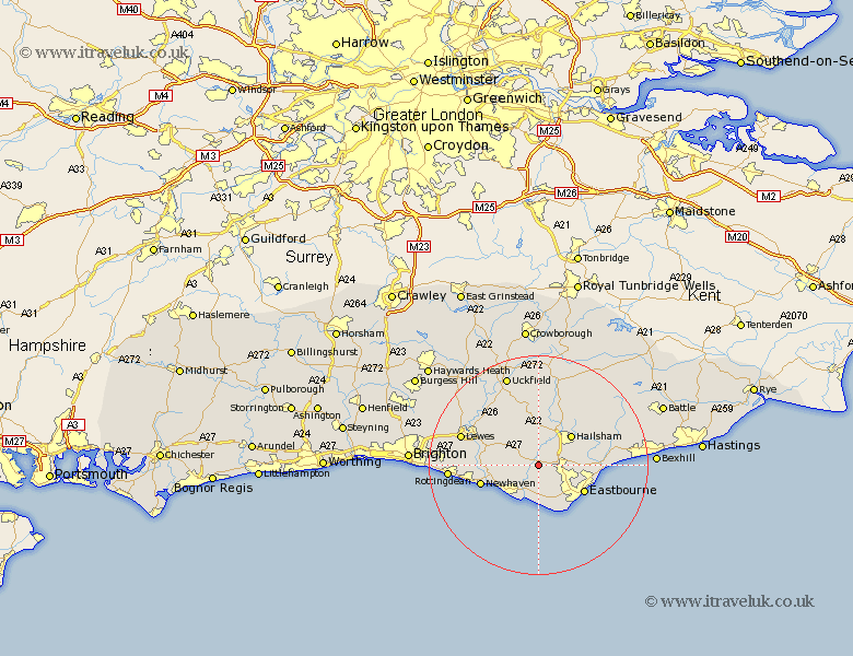
Sussex Map Showing Location of Wilmington
District: Wealden
Easting: 553784 Northing: 104236
Latitude: 50.82 Longitude: 0.18
 = Wilmington
Easting: 553784 Northing: 104236
Latitude: 50.82 Longitude: 0.18
= Wilmington
This Wilmington map below is supplied by Google. Use the tools in the top left corner to zoom into street level or zoom out for a road map, you may also need to zoom in to see Wilmington on the map. Click and drag the map to move around. If the map fails to load try and refresh your browser or zoom in or out (+ or -).
Update - it seems Google no longer allow people to use their maps for free! This Wilmington map sometimes loads and sometimes gives a error. I am working on a solution.
Closest 30 Towns or Cities to Wilmington (Population over 500)
Alfriston 2.99km Polegate 3.97km Chalvington 4.38km Jevington 4.39km Hellingly 7.27km Friston 7.51km Seaford 8.07km Hailsham 8.07km Laughton 8.2km Chiddingly 9.27km Eastbourne 9.7km Ringmer 11.04km Newhaven 11.18km East Hoathly 11.18km Pevensey 11.86km Horam 12.07km Horeham 12.07km Hurstmonceux 12.88km Hurstmonceaux 12.88km Herstmonceux 12.88km Pevensey Bay 13.01km Barcombe Mills Station 14.03km Kingston near Lewes 14.53km Kingston 14.53km Warbleton 14.75km Lewes 15.1km Framfield 15.24km Isfield 15.34km Heathfield 15.94km Rottingdean 16.5km