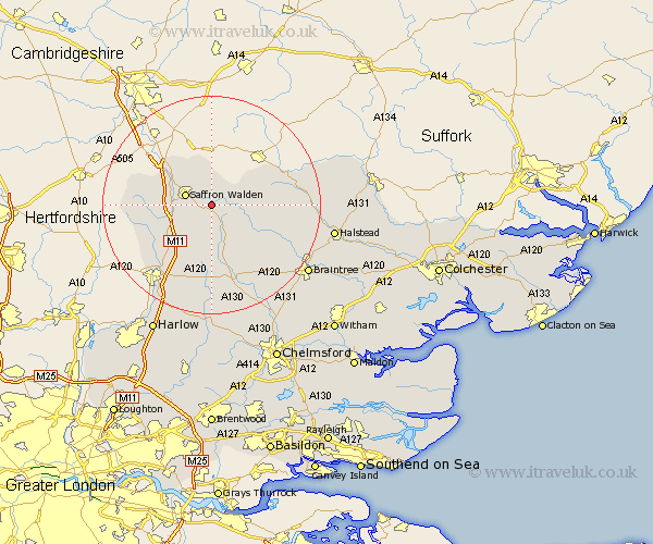
Essex Map Showing Location of Wenbech
Population: 1550
District: Uttlesford
Easting: 559014 Northing: 236087
Latitude: 52 Longitude: 0.32
 = Wenbech
District: Uttlesford
Easting: 559014 Northing: 236087
Latitude: 52 Longitude: 0.32
= Wenbech
This Wenbech map below is supplied by Google. Use the tools in the top left corner to zoom into street level or zoom out for a road map, you may also need to zoom in to see Wenbech on the map. Click and drag the map to move around. If the map fails to load try and refresh your browser or zoom in or out (+ or -).
Update - it seems Google no longer allow people to use their maps for free! This Wenbech map sometimes loads and sometimes gives a error. I am working on a solution.
Closest 30 Towns or Cities to Wenbech (Population over 500)
Radwinter 1.14km Saffron Walden 4.93km Newport 4.93km Debden 5.04km Ashdon 5.56km Great Sampford 6km Thaxted 6.53km Littlebury 7.78km Henham 8.71km Broxted 9.33km Quendon 9.73km Steeple Bumpstead 9.85km Finchingfield 9.85km Elsenham 10.88km Chesterford 10.89km Great Chesterford 10.89km Great Easton 11.18km Wethersfield 12.7km Clavering 13.09km Great Dunmow 13.42km Dunmow 13.42km Great Bardfield 13.62km Stansted 13.7km Stansted Apt 13.7km Stansted Mountfitchet 13.7km Manuden 13.84km Shalford 14.59km Stebbing 14.68km Toppesfield 14.83km Takeley 15.22km