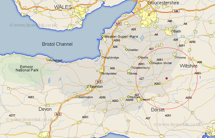
Somerset Map Showing Location of Wincanton
Population: 3906
Area Size (ha): 154
District: South Somerset
Easting: 371985 Northing: 131688
Latitude: 51.08 Longitude: -2.4
 = Wincanton
Area Size (ha): 154
District: South Somerset
Easting: 371985 Northing: 131688
Latitude: 51.08 Longitude: -2.4
= Wincanton
This Wincanton map below is supplied by Google. Use the tools in the top left corner to zoom into street level or zoom out for a road map, you may also need to zoom in to see Wincanton on the map. Click and drag the map to move around. If the map fails to load try and refresh your browser or zoom in or out (+ or -).
Update - it seems Google no longer allow people to use their maps for free! This Wincanton map sometimes loads and sometimes gives a error. I am working on a solution.
Closest 30 Towns or Cities to Wincanton (Population over 500)
Redlynch 2.98km Bruton 2.98km Castle Cary 8.15km North Cadbury 9.87km Ditcheat 10.02km Evercreech 10.19km Sparkford 12.91km Henstridge 12.97km Nunney 13.03km Milborne Port 13.78km Queen Camel 14.8km Leigh on Mendip 15.24km Leigh 15.24km Leigh upon Mendip 15.24km Leigh-on-Mendip 15.24km Shepun 15.27km Shepton Mallet 15.27km Pilton 15.8km Frome 15.93km Mells 16.68km Coleford 16.79km Barton St David 17.56km Barton St. David 17.56km Barton Saint David 17.56km Holcombe 17.66km Baltonsborough 17.85km Charlton Mackrell 18.72km Mudford 18.79km West Pennard 18.96km Butleigh 19.88km