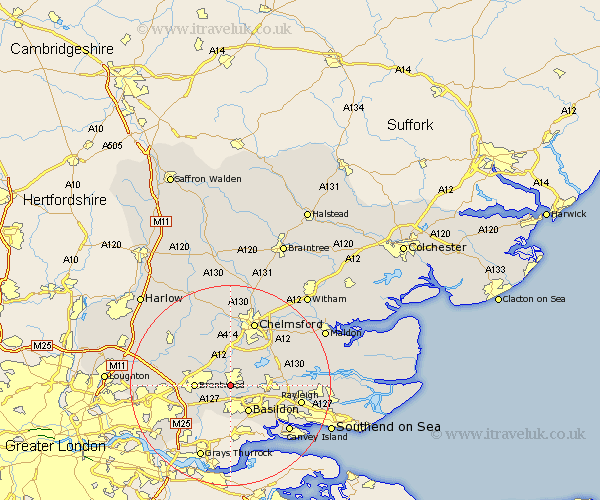
Essex Map Showing Location of Billericay
Population: 32486
Area Size (ha): 796
District: Basildon
Easting: 567291 Northing: 193693
Latitude: 51.62 Longitude: 0.42
 = Billericay
Area Size (ha): 796
District: Basildon
Easting: 567291 Northing: 193693
Latitude: 51.62 Longitude: 0.42
= Billericay
This Billericay map below is supplied by Google. Use the tools in the top left corner to zoom into street level or zoom out for a road map, you may also need to zoom in to see Billericay on the map. Click and drag the map to move around. If the map fails to load try and refresh your browser or zoom in or out (+ or -).
Update - it seems Google no longer allow people to use their maps for free! This Billericay map sometimes loads and sometimes gives a error. I am working on a solution.
Closest 30 Towns or Cities to Billericay (Population over 500)
Ramsden Heath 2.3km Great Burstead 3.71km Stock 3.88km Mountnessing 4.96km Ingatestone 6.02km Herongate 6.44km Basildon 6.55km West Hanningfield 6.84km Ingrave 6.85km Brentwood 6.9km South Hanningfield 7.15km Wickford 7.15km Margaretting 7.41km Galleywood 9.88km Rettendon 9.92km Rawreth 10.52km East Hanningfield 10.75km Kelvedon Hatch 10.75km Great Baddow 10.9km Corringham 11.02km Writtle 11.18km Navestock 12.79km Stanford le Hope 12.98km South Benfleet 13.07km Benfleet 13.07km Woodham Ferrers 13.18km Bickacre 13.68km Bicknacre 13.68km Chelmsford 13.76km Danbury 13.89km