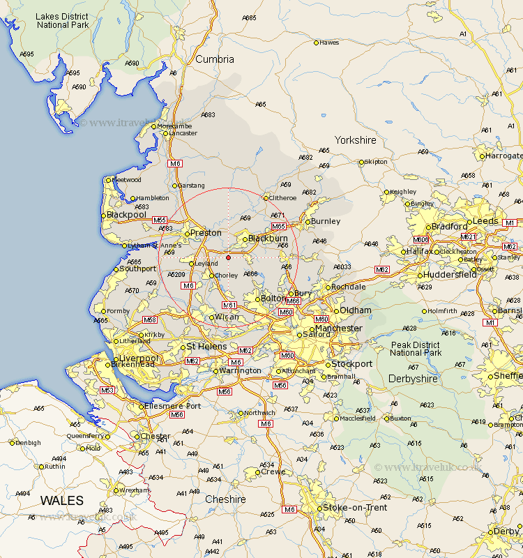
Lancashire Map Showing Location of Withnell
Population: 2422
Area Size (ha): 54
District: Chorley
Easting: 363692 Northing: 422783
Latitude: 53.7 Longitude: -2.55
 = Withnell
Area Size (ha): 54
District: Chorley
Easting: 363692 Northing: 422783
Latitude: 53.7 Longitude: -2.55
= Withnell
This Withnell map below is supplied by Google. Use the tools in the top left corner to zoom into street level or zoom out for a road map, you may also need to zoom in to see Withnell on the map. Click and drag the map to move around. If the map fails to load try and refresh your browser or zoom in or out (+ or -).
Update - it seems Google no longer allow people to use their maps for free! This Withnell map sometimes loads and sometimes gives a error. I am working on a solution.
Closest 30 Towns or Cities to Withnell (Population over 500)
Brinscall 2.16km Hoghton 2.87km Darwen 5.49km Heapey 5.74km Blackburn 7.08km Chorley 7.08km Mellor 7.5km Samlesbury 8.62km Euxton 9.49km Farington 10.04km Farrington 10.04km Leyland 10.05km Wilpshire 10.25km Rishton 10.39km Oswaldtwistle 10.54km Horwich 11.12km Ribchester 11.17km Haigh 11.33km Coppull 11.37km Adlington 11.6km Church 12.29km Turton 12.36km Grimsargh 12.4km Great Harwood 12.75km Langho 12.92km Blackrod 13.16km Preston 13.24km Clayton le Moor 13.24km Clayton le Moors 13.24km Clayton-le-Moors 13.24km