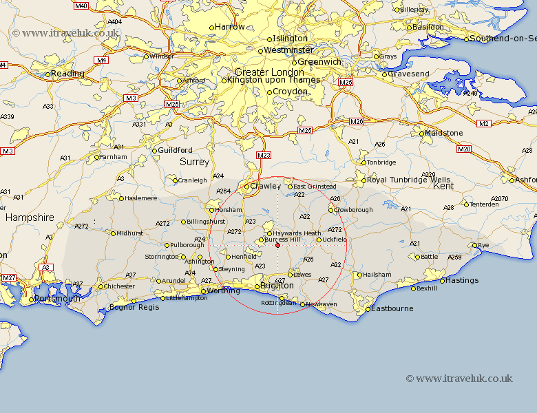
Sussex Map Showing Location of Wivelsfield Green
District: Lewes
Easting: 535788 Northing: 118569
Latitude: 50.95 Longitude: -0.07
 = Wivelsfield Green
Easting: 535788 Northing: 118569
Latitude: 50.95 Longitude: -0.07
= Wivelsfield Green
This Wivelsfield Green map below is supplied by Google. Use the tools in the top left corner to zoom into street level or zoom out for a road map, you may also need to zoom in to see Wivelsfield Green on the map. Click and drag the map to move around. If the map fails to load try and refresh your browser or zoom in or out (+ or -).
Update - it seems Google no longer allow people to use their maps for free! This Wivelsfield Green map sometimes loads and sometimes gives a error. I am working on a solution.
Closest 30 Towns or Cities to Wivelsfield Green (Population over 500)
Wivelsfield 1.17km Ditchling 4.38km Ditchelling 4.38km Baywards Heath 4.38km Haywards Heath 4.38km Burgess Hill 5.02km Lindfield 5.56km Chailey 5.84km Hassocks 5.96km Keymer 5.96km Newick 6.12km Plumpton 7.51km Fletching 7.92km Hurstpierpoint 7.93km Horsted Keynes 8.2km Albourne 8.38km Cuckfield 8.76km South Nutfield 8.76km Barcombe Mills Station 8.95km Ardingly 9.34km Isfield 9.52km Lewes 9.9km Bolney 10.04km Botney 10.04km Maresfield 11.14km Balcombe 11.66km Kingston 11.66km Kingston near Lewes 11.66km Uckfield 11.82km Ringmer 11.93km