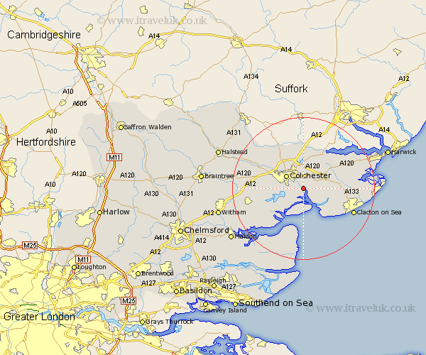
Essex Map Showing Location of Winehoe
Population: 7086
Area Size (ha): 154
District: Colchester
Easting: 604302 Northing: 221033
Latitude: 51.85 Longitude: 0.97
 = Winehoe
Area Size (ha): 154
District: Colchester
Easting: 604302 Northing: 221033
Latitude: 51.85 Longitude: 0.97
= Winehoe
This Winehoe map below is supplied by Google. Use the tools in the top left corner to zoom into street level or zoom out for a road map, you may also need to zoom in to see Winehoe on the map. Click and drag the map to move around. If the map fails to load try and refresh your browser or zoom in or out (+ or -).
Update - it seems Google no longer allow people to use their maps for free! This Winehoe map sometimes loads and sometimes gives a error. I am working on a solution.
Closest 30 Towns or Cities to Winehoe (Population over 500)
Alresford 1.14km Rowhedge 1.15km Fingringhoe 2.95km Thorrington 4.58km Great Bromley 5.89km Colchester 5.89km Peldon 5.89km Great Bentley 6.87km Brightlingsea 7.2km Ardleigh 7.5km Layer de la Haye 8.23km St Osyth 9.76km St. Osyth 9.76km Saint Osyth 9.76km Weeley 10.3km Lawford 10.33km West Mersea 10.33km Birch 10.47km Dedham 11.18km Copford 11.45km Great Horkesley 11.53km Horkesley 11.53km Boxted 11.64km West Bergholt 11.78km Little Clacton 12.04km Mistley 12.24km Marks Tey 12.73km Fordham 13.63km Thorpe le Soken 13.74km Wix 13.76km