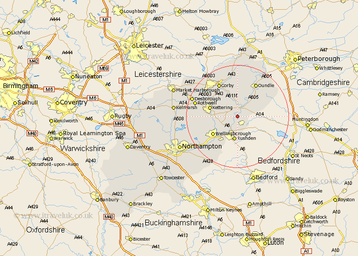
Northamptonshire Map Showing Location of Woodford
Population: 1290
District: East Northamptonshire
Easting: 497581 Northing: 275299
Latitude: 52.37 Longitude: -0.57
 = Woodford
District: East Northamptonshire
Easting: 497581 Northing: 275299
Latitude: 52.37 Longitude: -0.57
= Woodford
This Woodford map below is supplied by Google. Use the tools in the top left corner to zoom into street level or zoom out for a road map, you may also need to zoom in to see Woodford on the map. Click and drag the map to move around. If the map fails to load try and refresh your browser or zoom in or out (+ or -).
Update - it seems Google no longer allow people to use their maps for free! This Woodford map sometimes loads and sometimes gives a error. I am working on a solution.
Closest 30 Towns or Cities to Woodford (Population over 500)
Ringstead 2.17km Islip 2.92km Thrapston 4.34km Raunds 4.35km Stanwick 5.67km Finedon 5.85km Irthlingborough 6km Titchmarsh 6.76km Burton Latimer 7.04km Higham Ferrers 7.5km Isham 9.24km Rushden 9.34km Brigstock 9.54km Kettering 10.84km Geddington 10.84km Wellingborough 11.71km Irchester 12km Stanion 12.48km Broughton 13.58km Weldon 13.74km Doddington 14.34km Great Doddington 14.34km Corby 14.63km Oundle 14.63km Wollaston 14.65km Wilby 15.08km Rothwell 16.78km Rowell 16.78km Walgrave 17.38km Sywell 17.4km