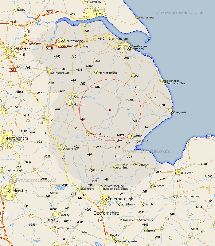
Lincolnshire Map Showing Location of Woodhall Spa
Population: 3382
Area Size (ha): 200
District: East Lindsey
Easting: 519248 Northing: 362946
Latitude: 53.15 Longitude: -0.22
 = Woodhall Spa
Area Size (ha): 200
District: East Lindsey
Easting: 519248 Northing: 362946
Latitude: 53.15 Longitude: -0.22
= Woodhall Spa
This Woodhall Spa map below is supplied by Google. Use the tools in the top left corner to zoom into street level or zoom out for a road map, you may also need to zoom in to see Woodhall Spa on the map. Click and drag the map to move around. If the map fails to load try and refresh your browser or zoom in or out (+ or -).
Update - it seems Google no longer allow people to use their maps for free! This Woodhall Spa map sometimes loads and sometimes gives a error. I am working on a solution.
Closest 30 Towns or Cities to Woodhall Spa (Population over 500)
Woodhall Spa 0km Coningsby 4.98km Tattershall 5.67km Martin 8.62km Billinghay 8.65km Banovallum 8.68km Horncastle 8.68km Bardney 9.97km Mareham on the Hill 10.66km Mareham 10.66km Mareham-on-the-Hill 10.66km Dunston 12.23km Metheringham 12.37km Digby 12.46km Carrington 13.37km Scopwick 13.44km Nocton 13.46km Potter Hanworth 13.84km Bloxholm 15.27km Bloxholme 15.27km Wragby 15.83km Cherry Willingham 16.84km Branston 17.07km Buskington 17.1km Ruskington 17.1km Fiskerton 17.15km Reepham 17.15km Stickney 17.25km Heighington 17.57km Frithville 17.84km