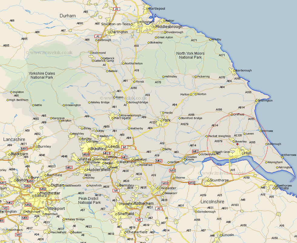
Yorkshire Map Showing Location of Woodmansey
Population: 6497
Easting: 506422 Northing: 436834
Latitude: 53.82 Longitude: -0.38
 = Woodmansey
Easting: 506422 Northing: 436834
Latitude: 53.82 Longitude: -0.38
= Woodmansey
This Woodmansey map below is supplied by Google. Use the tools in the top left corner to zoom into street level or zoom out for a road map, you may also need to zoom in to see Woodmansey on the map. Click and drag the map to move around. If the map fails to load try and refresh your browser or zoom in or out (+ or -).
Update - it seems Google no longer allow people to use their maps for free! This Woodmansey map sometimes loads and sometimes gives a error. I am working on a solution.
Closest 30 Towns or Cities to Woodmansey (Population over 500)
Beverley 2.86km Wawne 2.87km Cottingham 3.71km Tickton 5.56km Sutton on Hull 5.74km Sutton-on-Hull 5.74km Sutton 5.74km Skidby 6.61km Willerby 7.07km Leconfield 7.08km Leckonfield 7.08km Hull 7.43km Bishop Burton 7.88km Leven 8.6km Kirk Ella 8.61km Skirlaugh Station 8.75km Cherry Burton 9.46km Anlaby 9.83km Lockington 11.35km Swanland 11.36km Kingston upon Hull 11.59km Hessle 11.59km Brandsburton 12.39km Brandesburton 12.39km Preston 13.26km Ferriby 13.5km North Ferriby 13.5km Sproatley 13.65km Paull 14.86km Cranswick 15.18km