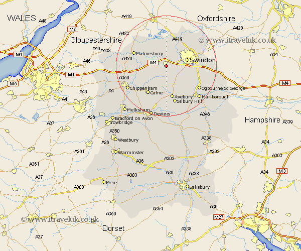
Wiltshire Map Showing Location of Wootton Bassett
Population: 10251
Area Size (ha): 255
District: North Wiltshire
Easting: 406935 Northing: 181657
Latitude: 51.53 Longitude: -1.9
 = Wootton Bassett
Area Size (ha): 255
District: North Wiltshire
Easting: 406935 Northing: 181657
Latitude: 51.53 Longitude: -1.9
= Wootton Bassett
This Wootton Bassett map below is supplied by Google. Use the tools in the top left corner to zoom into street level or zoom out for a road map, you may also need to zoom in to see Wootton Bassett on the map. Click and drag the map to move around. If the map fails to load try and refresh your browser or zoom in or out (+ or -).
Update - it seems Google no longer allow people to use their maps for free! This Wootton Bassett map sometimes loads and sometimes gives a error. I am working on a solution.
Closest 30 Towns or Cities to Wootton Bassett (Population over 500)
Wootton Bassett 0km Wooton Bassett 0km Lydiard Millicent 4.37km Lyneham 4.97km Purton 6.02km Broad Town 6.02km Brinkworth 6.05km Broad Hinton 7.23km Wroughton 8.28km Swindon 8.48km Hilmarton 8.73km Hillmarton 8.73km Minety 9.9km Blunsdon St. Andrew 10.14km Blunsdon 10.14km Blunsdon Saint Andrew 10.14km Blunsdon St Andrew 10.14km Christian Malford 11.02km Ashton Keynes 11.36km Great Somerford 11.53km Somerford 11.53km Cricklade 11.64km Stratton 11.77km Stratton Saint Margaret 11.77km Stratton St. Margaret 11.77km Stratton St Margaret 11.77km Lea 12.11km Bremhill 13.08km Calne 13.1km Sutton Benger 13.21km