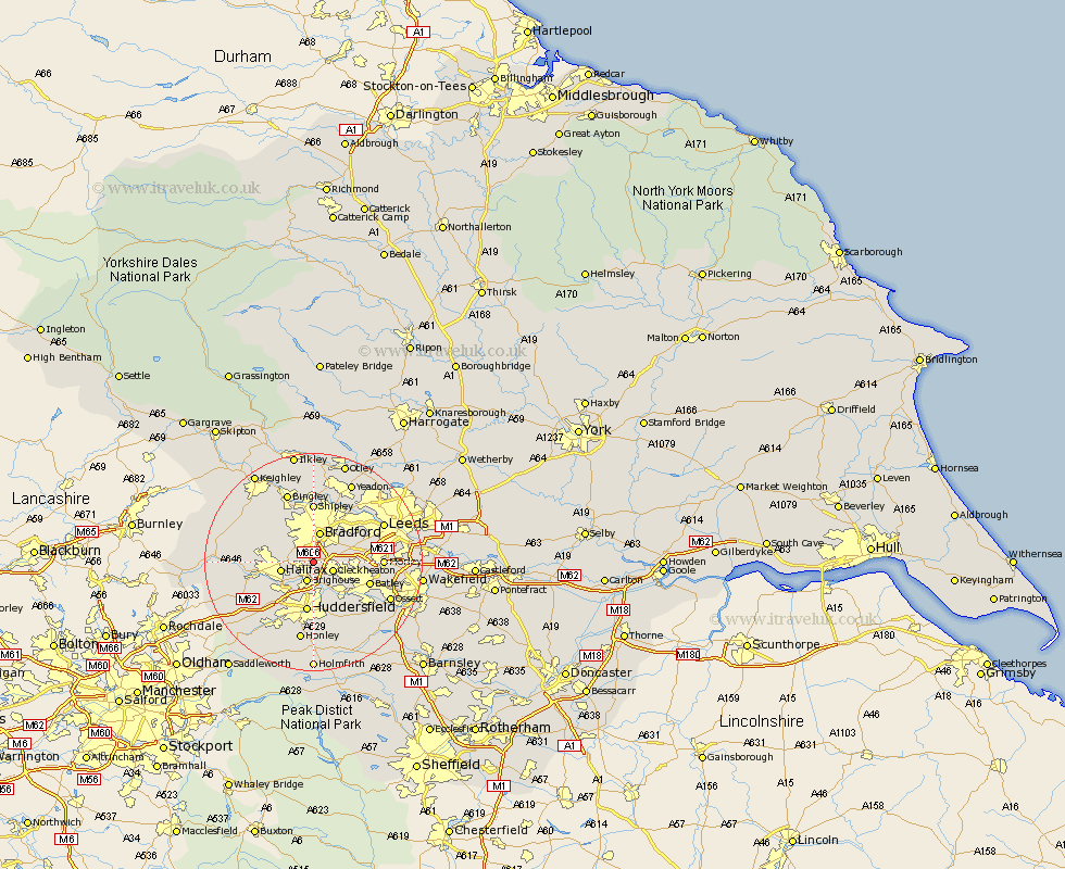
Yorkshire Map Showing Location of Wyke
District: Bradford
Easting: 415390 Northing: 426373
Latitude: 53.73 Longitude: -1.77
 = Wyke
Easting: 415390 Northing: 426373
Latitude: 53.73 Longitude: -1.77
= Wyke
This Wyke map below is supplied by Google. Use the tools in the top left corner to zoom into street level or zoom out for a road map, you may also need to zoom in to see Wyke on the map. Click and drag the map to move around. If the map fails to load try and refresh your browser or zoom in or out (+ or -).
Update - it seems Google no longer allow people to use their maps for free! This Wyke map sometimes loads and sometimes gives a error. I am working on a solution.
Closest 30 Towns or Cities to Wyke (Population over 500)
Cleckheaton 3.77km Brighouse 3.86km Bradford 5.67km Liversedge 5.74km Halifax 5.78km Elland 7.08km Heckmondwike 7.55km Pudsey 8.61km Mirfield 9.22km Huddersfield 9.33km Denholme 10.38km Batley 10.53km Queensbury 10.54km Dewsbury 10.54km Drewsbury 10.54km Luddenden Foot 11.12km Shipley 11.12km Wilsden 11.37km Morley 12.06km Cullingworth 12.76km Baildon 12.98km Bingley 13.7km Oxenhope 14.15km Leeds 14.15km Horsforth 14.16km Ripponden 14.16km Middlestown 14.36km Middletown 14.36km Mytholmroyd 14.37km Honley 14.98km