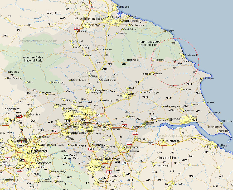
Yorkshire Map Showing Location of Wykeham
Population: 290
District: Scarborough
Easting: 496674 Northing: 482988
Latitude: 54.23 Longitude: -0.52
 = Wykeham
District: Scarborough
Easting: 496674 Northing: 482988
Latitude: 54.23 Longitude: -0.52
= Wykeham
This Wykeham map below is supplied by Google. Use the tools in the top left corner to zoom into street level or zoom out for a road map, you may also need to zoom in to see Wykeham on the map. Click and drag the map to move around. If the map fails to load try and refresh your browser or zoom in or out (+ or -).
Update - it seems Google no longer allow people to use their maps for free! This Wykeham map sometimes loads and sometimes gives a error. I am working on a solution.
Closest 30 Towns or Cities to Wykeham (Population over 500)
Brompton 2.85km Snainton 4.71km Seamer 5.42km Willerby 7.05km Sherburn 7.41km Yedingham 7.48km Eastfield 7.58km Scalby 7.76km Scarborough 8.96km Cayton 9.75km Burniston 10.74km Cloughton 12.37km Thornton Dale 13km Thornton-le-Dale 13km Hunmanby 14.97km Filey 15.02km Rillington 15.1km Great Driffield 15.78km Pickering 16.35km Norton 19.49km Fylingdales 20.42km Malton 22.09km Kilham 22.6km Hawsker 24.31km Bridlington 25.3km Bempton 25.34km Nafferton 25.61km Driffield 25.78km Sleights 25.98km Wetwang 26.15km