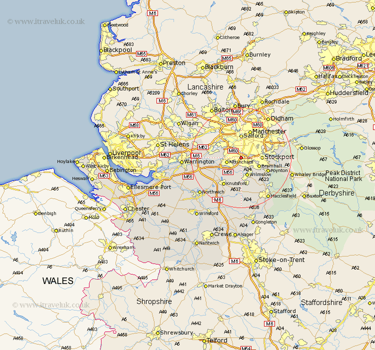
Cheshire Map Showing Location of Wythenshawe
District: Manchester
Easting: 382271 Northing: 389303
Latitude: 53.4 Longitude: -2.27
 = Wythenshawe
Easting: 382271 Northing: 389303
Latitude: 53.4 Longitude: -2.27
= Wythenshawe
This Wythenshawe map below is supplied by Google. Use the tools in the top left corner to zoom into street level or zoom out for a road map, you may also need to zoom in to see Wythenshawe on the map. Click and drag the map to move around. If the map fails to load try and refresh your browser or zoom in or out (+ or -).
Update - it seems Google no longer allow people to use their maps for free! This Wythenshawe map sometimes loads and sometimes gives a error. I am working on a solution.
Closest 30 Towns or Cities to Wythenshawe (Population over 500)
Sale 2.89km Cheadle 3.31km Altrincham 5.83km Bramhall 7.6km Bowdon 7.6km Stockport 7.73km Wilmslow 7.74km Mobberley 9.84km Bredbury 10.11km Partington 10.12km Hazel Grove 10.12km Alderley Edge 11.34km Poynton 11.4km Lymm 11.66km Romiley 12.29km Mere 12.41km Adlington 12.81km Knutsford 12.95km Nether Alderley 13.16km Alderley 13.16km Marple 13.26km Hyde 13.36km High Legh 13.37km Glazebrook 13.76km Disley 13.77km Chelford 14.82km Prestburg 15.11km Prestbury 15.11km Dukinfield 15.27km Stalybridge 16.16km