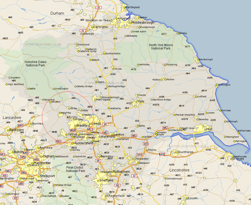
Yorkshire Map Showing Location of Bingley
Population: 19171
Area Size (ha): 471
District: Bradford
Easting: 410963 Northing: 439343
Latitude: 53.85 Longitude: -1.83
 = Bingley
Area Size (ha): 471
District: Bradford
Easting: 410963 Northing: 439343
Latitude: 53.85 Longitude: -1.83
= Bingley
This Bingley map below is supplied by Google. Use the tools in the top left corner to zoom into street level or zoom out for a road map, you may also need to zoom in to see Bingley on the map. Click and drag the map to move around. If the map fails to load try and refresh your browser or zoom in or out (+ or -).
Update - it seems Google no longer allow people to use their maps for free! This Bingley map sometimes loads and sometimes gives a error. I am working on a solution.
Closest 30 Towns or Cities to Bingley (Population over 500)
Wilsden 4.3km Baildon 4.37km Shipley 4.75km Cullingworth 5.73km Keighley 6.6km Ilkley 7.5km Menston 7.53km Guiseley 7.87km Steeton 8.5km Haworth 8.5km Silsden 8.6km Denholme 8.61km Burley in Wharfedale 9.21km Burley 9.21km Bradford 9.22km Oxenhope 9.46km Addingham 9.82km Sutton-in-Craven 10.51km Queensbury 10.76km Yeadon 11.09km Otley 11.3km Glusburn 12.26km Pudsey 13.22km Horsforth 13.25km Cononley 14.12km Bramhope 14.68km Halifax 14.86km Pool 15.25km Poole 15.25km Pool-in-Wharfedale 15.25km