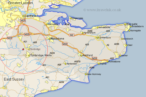
Kent Map Showing Location of Leigh
Population: 1689
District: Sevenoaks
Easting: 554905 Northing: 145067
Latitude: 51.18 Longitude: 0.22
 = Leigh
District: Sevenoaks
Easting: 554905 Northing: 145067
Latitude: 51.18 Longitude: 0.22
= Leigh
This Leigh map below is supplied by Google. Use the tools in the top left corner to zoom into street level or zoom out for a road map, you may also need to zoom in to see Leigh on the map. Click and drag the map to move around. If the map fails to load try and refresh your browser or zoom in or out (+ or -).
Update - it seems Google no longer allow people to use their maps for free! This Leigh map sometimes loads and sometimes gives a error. I am working on a solution.
Closest 30 Towns or Cities to Leigh (Population over 500)
Hildenborough 2.19km Penshurst 2.97km Southborough 3.88km Bidborough 3.88km Weald 4.38km Tonbridge 4.65km Speldhurst 5.56km Chiddingstone 6.1km Royal Tunbridge Wells 7.25km Tunbridge Wells 7.25km Turnbridge Wells 7.25km Ide Hill 8.04km Hever 8.34km Pembury 8.92km Hadlow 8.94km Sevenoaks 9.35km Plaxtol 9.42km Edenbridge 10.45km Cowden 10.83km Seal 11.12km East Peckham 11.76km Paddock Wood 11.77km Brasted 12.33km Chevening 12.54km Borough Green 12.54km Mereworth 12.81km Kemsing 13.03km Westerham 13.12km Otford 13.18km Brenchley 13.94km