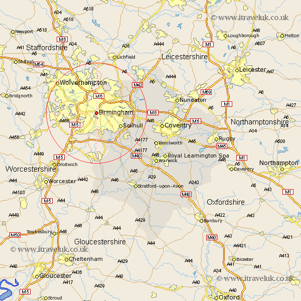
Warwickshire Map Showing Location of Birmingham
Population: 1001200
Area Size (ha): 22334
District: Birmingham
Easting: 405660 Northing: 285462
Latitude: 52.47 Longitude: -1.92
 = Birmingham
Area Size (ha): 22334
District: Birmingham
Easting: 405660 Northing: 285462
Latitude: 52.47 Longitude: -1.92
= Birmingham
This Birmingham map below is supplied by Google. Use the tools in the top left corner to zoom into street level or zoom out for a road map, you may also need to zoom in to see Birmingham on the map. Click and drag the map to move around. If the map fails to load try and refresh your browser or zoom in or out (+ or -).
Update - it seems Google no longer allow people to use their maps for free! This Birmingham map sometimes loads and sometimes gives a error. I am working on a solution.
Closest 30 Towns or Cities to Birmingham (Population over 500)
Castle Bromwich 9.76km Solihull 10.61km Water Orton 12.96km Sutton Coldfield 13.02km Bickenhill 13.68km Coleshill 15.13km Knowle 15.51km Hampton in Arden 15.7km Middleton 17.94km Kingsbury 18.31km Lapworth 18.65km Temple Balsall 19.34km Nether Whitacre 19.51km Shustoke 19.54km Ullenhall 19.74km Berkeswell 20.59km Berkswell 20.59km Meriden 20.67km Hurley 21.3km Rowington 22.23km Studley 22.35km Fillongley 22.58km Henley in Arden 22.79km Arley 22.87km Corley 24.91km Shrewley 25.13km Coventry 25.47km Allesley 25.47km Dordon 25.77km Hatton 25.91km