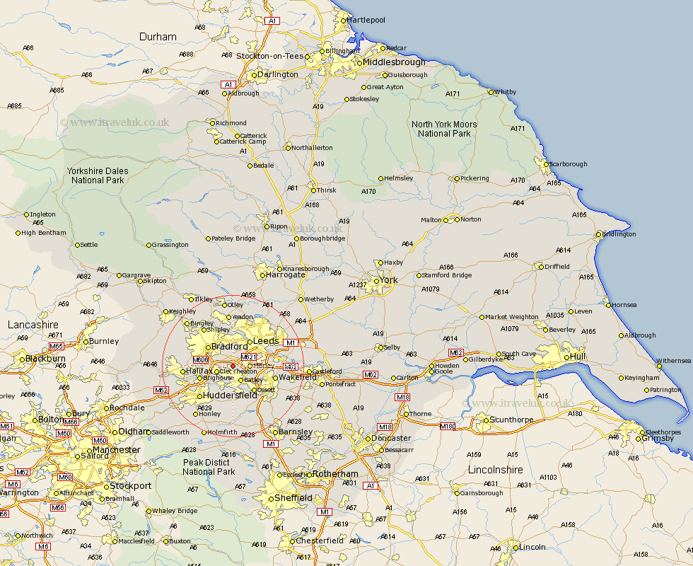
Yorkshire Map Showing Location of Birstall
District: Kirklees
Easting: 423086 Northing: 426408
Latitude: 53.73 Longitude: -1.65
 = Birstall
Easting: 423086 Northing: 426408
Latitude: 53.73 Longitude: -1.65
= Birstall
This Birstall map below is supplied by Google. Use the tools in the top left corner to zoom into street level or zoom out for a road map, you may also need to zoom in to see Birstall on the map. Click and drag the map to move around. If the map fails to load try and refresh your browser or zoom in or out (+ or -).
Update - it seems Google no longer allow people to use their maps for free! This Birstall map sometimes loads and sometimes gives a error. I am working on a solution.
Closest 30 Towns or Cities to Birstall (Population over 500)
Heckmondwike 3.87km Drewsbury 4.31km Dewsbury 4.31km Morley 4.39km Cleckheaton 4.76km Batley 4.8km Liversedge 4.96km Pudsey 5.66km Mirfield 7.73km Bradford 8.61km Leeds 8.61km Ossett 9.22km Brighouse 9.52km Middletown 9.83km Middlestown 9.83km Lofthouse 9.87km Horbury 9.91km Rothwell 11.12km Horsforth 11.17km Stanley 11.58km Wakefield 11.58km Huddersfield 12.76km Emley 13.02km Halifax 13.29km Elland 13.29km Shipley 13.5km Crigglestone 13.52km Bretton 14.08km West Bretton 14.08km Yeadon 14.87km