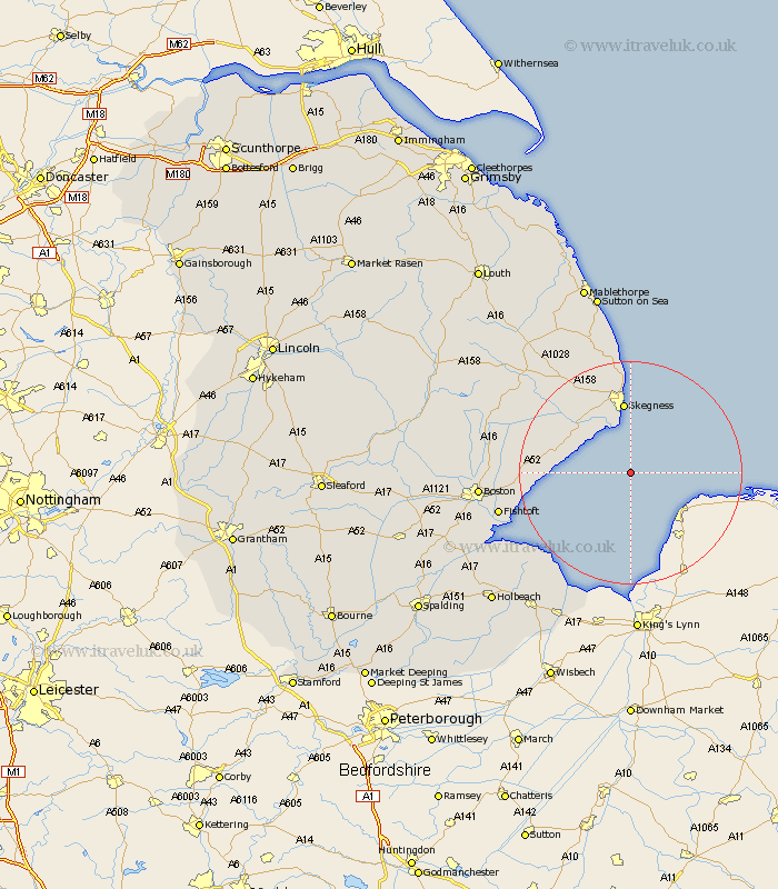
Lincolnshire Map Showing Location of Hook
District: East Lindsey
Easting: 558738 Northing: 349253
Latitude: 53.02 Longitude: 0.37
 = Hook
Easting: 558738 Northing: 349253
Latitude: 53.02 Longitude: 0.37
= Hook
This Hook map below is supplied by Google. Use the tools in the top left corner to zoom into street level or zoom out for a road map, you may also need to zoom in to see Hook on the map. Click and drag the map to move around. If the map fails to load try and refresh your browser or zoom in or out (+ or -).
Update - it seems Google no longer allow people to use their maps for free! This Hook map sometimes loads and sometimes gives a error. I am working on a solution.
Closest 30 Towns or Cities to Hook (Population over 500)
Wainfleet All Saints 12.11km Wainfleet 12.11km Skegness 13.01km Friskney 13.46km Croft 15.13km Burgh le Marsh 16.75km Wrangle 16.82km Leake 17.84km Old Leake 17.84km Ingoldmells 18.66km Leverton 19.05km Bennington 19.32km Benington 19.32km Butterwick 20.42km Freiston 21.91km Frieston 21.91km Chapel St. Leonards 22.49km Chapel St Leonards 22.49km Chapel Saint Leonards 22.49km Sibsey 23.48km Fishtoft 23.51km Stickney 24.54km Willoughby 24.86km Spilsby 25.69km Boston 25.92km Huttoft 26.79km Frithville 26.82km Wyberton 27.29km Frampton 27.98km Alford 28.68km