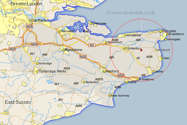
Kent Map Showing Location of Wingham
Population: 1519
Area Size (ha): 37
District: Dover
Easting: 624368 Northing: 156921
Latitude: 51.27 Longitude: 1.22
 = Wingham
Area Size (ha): 37
District: Dover
Easting: 624368 Northing: 156921
Latitude: 51.27 Longitude: 1.22
= Wingham
This Wingham map below is supplied by Google. Use the tools in the top left corner to zoom into street level or zoom out for a road map, you may also need to zoom in to see Wingham on the map. Click and drag the map to move around. If the map fails to load try and refresh your browser or zoom in or out (+ or -).
Update - it seems Google no longer allow people to use their maps for free! This Wingham map sometimes loads and sometimes gives a error. I am working on a solution.
Closest 30 Towns or Cities to Wingham (Population over 500)
Wingham 0km Staple 2.97km Littlebourne 3.48km Preston 3.88km Eastry 6.89km Sturry 7.2km Chislet 7.5km Bridge 7.89km Hoath 8.18km Monkton 8.74km Minster 8.9km Sandwich 9.28km Shepherdswell 9.35km Sibertswold 9.35km Hackington 9.46km Worth 9.46km St. Nicholas at Wade 9.55km St Nicholas at Wade 9.55km Saint Nicholas at Wade 9.55km Northbourne 9.84km Canterbury 10.03km Eythorne 10.37km Broomfield 10.5km Lower Hardres 11.08km Coldred 11.36km Blean 12.17km Herne Bay 12.54km Birchington 12.54km Great Mongeham 12.81km Mongeham 12.81km