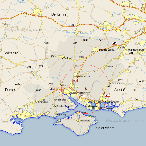
Hampshire Map Showing Location of Bishop's Waltham
Population: 5292
Area Size (ha): 130
District: Winchester
Easting: 455019 Northing: 117082
Latitude: 50.95 Longitude: -1.22
 = Bishop's Waltham
Area Size (ha): 130
District: Winchester
Easting: 455019 Northing: 117082
Latitude: 50.95 Longitude: -1.22
= Bishop's Waltham
This Bishop's Waltham map below is supplied by Google. Use the tools in the top left corner to zoom into street level or zoom out for a road map, you may also need to zoom in to see Bishop's Waltham on the map. Click and drag the map to move around. If the map fails to load try and refresh your browser or zoom in or out (+ or -).
Update - it seems Google no longer allow people to use their maps for free! This Bishop's Waltham map sometimes loads and sometimes gives a error. I am working on a solution.
Closest 30 Towns or Cities to Bishop's Waltham (Population over 500)
Bishop's Waltham 0km Bishops Waltham 0km Upham 2.19km Durley 2.33km Waltham Chase 3.89km Swanmore 3.96km Shidfield 4.38km Shedfield 4.38km Curbridge 4.38km Curdridge 4.38km Botley 5.1km Droxford 5.84km Corhampton 6.13km Soberton 6.13km Owslebury 6.57km Wickham 6.57km Bishopstoke 8.38km West End 8.98km Eastleigh 9.52km Twyford 10.2km Otterbourne 10.87km Bursledon 10.95km Compton 11.03km Hambledon 11.14km Fareham 11.36km Bramdean 11.61km Southwick 11.62km Cheriton 11.66km Locks Heath 11.73km West Meon 11.92km