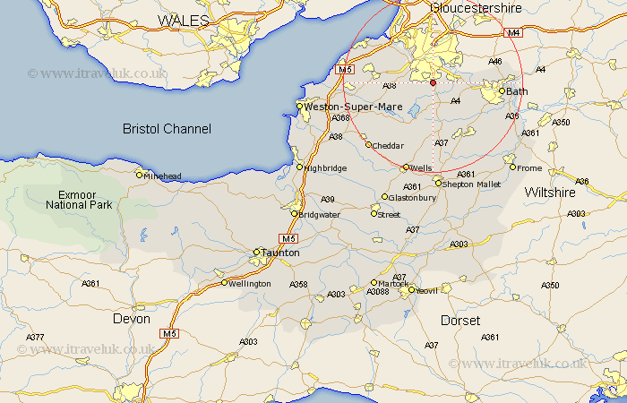
Somerset Map Showing Location of Whitchurch
Population: 1313
Easting: 360583 Northing: 166981
Latitude: 51.4 Longitude: -2.57
 = Whitchurch
Easting: 360583 Northing: 166981
Latitude: 51.4 Longitude: -2.57
= Whitchurch
This Whitchurch map below is supplied by Google. Use the tools in the top left corner to zoom into street level or zoom out for a road map, you may also need to zoom in to see Whitchurch on the map. Click and drag the map to move around. If the map fails to load try and refresh your browser or zoom in or out (+ or -).
Update - it seems Google no longer allow people to use their maps for free! This Whitchurch map sometimes loads and sometimes gives a error. I am working on a solution.
Closest 30 Towns or Cities to Whitchurch (Population over 500)
Compton Dando 3.94km Publow 4.37km Dundry 4.62km Keynsham 4.63km Great Chew 5.07km Chew Magna 5.07km Winford 6.07km Long Ashton 6.86km Chew Stoke 7.23km Temple Cloud 7.38km Clutton 7.77km Saltford 8.09km Farmborough 8.74km Farmboro 8.74km Flax Bourton 9.43km Bourton 9.43km Timsbury 10.92km East Harptree 12.04km Paulton 12.05km Camerton 12.31km Compton Martin 12.54km Portbury 12.77km Blagdon 12.78km Wraxall 12.82km Farrington Gurney 13.18km Nailsea 14.35km Wrington 14.36km Chewton Mendip 14.87km Bath 15.15km Stratton 15.53km