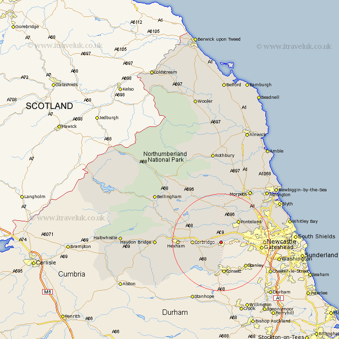
Northumberland Map Showing Location of Wylam
Population: 1459
Area Size (ha): 40
District: Tynedale
Easting: 409602 Northing: 563582
Latitude: 54.97 Longitude: -1.85
 = Wylam
Area Size (ha): 40
District: Tynedale
Easting: 409602 Northing: 563582
Latitude: 54.97 Longitude: -1.85
= Wylam
This Wylam map below is supplied by Google. Use the tools in the top left corner to zoom into street level or zoom out for a road map, you may also need to zoom in to see Wylam on the map. Click and drag the map to move around. If the map fails to load try and refresh your browser or zoom in or out (+ or -).
Update - it seems Google no longer allow people to use their maps for free! This Wylam map sometimes loads and sometimes gives a error. I am working on a solution.
Closest 30 Towns or Cities to Wylam (Population over 500)
Ovingham 1.06km Prudhoe 1.86km Stocksfield 5.65km Newburn 7.45km Stamfordham 7.48km Riding 8.32km Ridingmill 8.32km Corbridge 10.64km Ponteland 11.25km Woolsington 12km Sandhoe 12.9km Slaley 13.86km Dinnington 14.1km Gosforth 15.34km Hexham 15.96km Newcastle 15.96km Newcastle-on-Tyne 15.96km Newcastle on Tyne 15.96km Newcastle upon Tyne 15.96km Acomb 16.06km Chollerton 17.58km Challerton 17.58km Warden 18.18km Long Benton 18.45km Longbenton 18.45km Wallsend 18.73km Wallsend-on-Tyne 18.73km Wallsend on Tyne 18.73km Stannington 18.87km Killingworth 19.53km