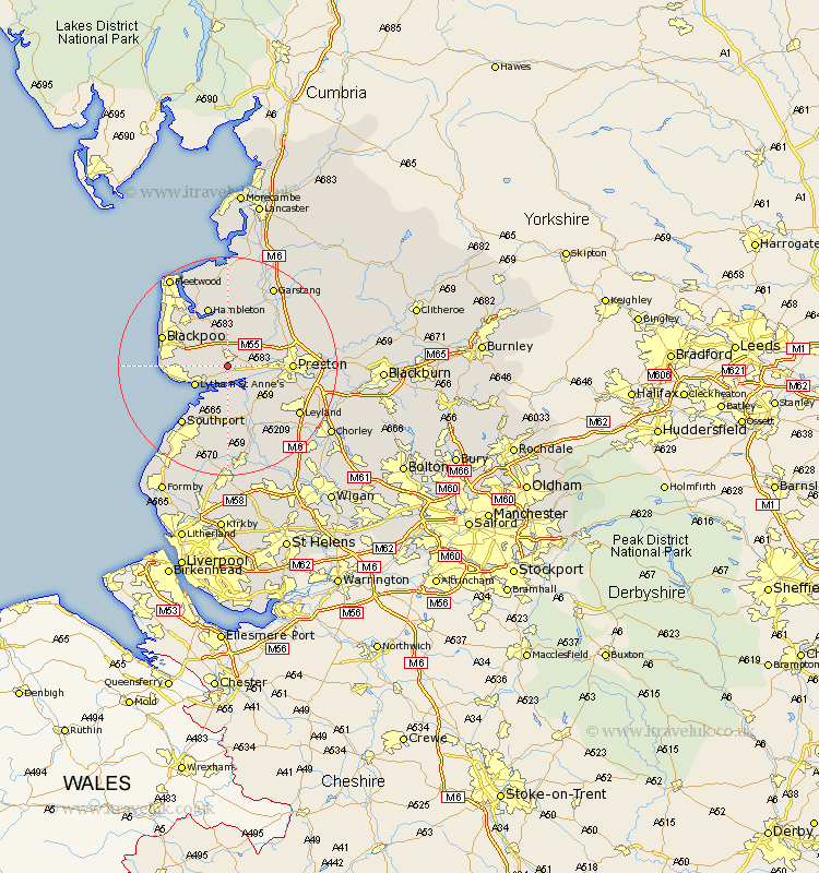
Lancashire Map Showing Location of Warton
Population: 8085
Area Size (ha): 425
District: Fylde
Easting: 341781 Northing: 430425
Latitude: 53.77 Longitude: -2.88
 = Warton
Area Size (ha): 425
District: Fylde
Easting: 341781 Northing: 430425
Latitude: 53.77 Longitude: -2.88
= Warton
This Warton map below is supplied by Google. Use the tools in the top left corner to zoom into street level or zoom out for a road map, you may also need to zoom in to see Warton on the map. Click and drag the map to move around. If the map fails to load try and refresh your browser or zoom in or out (+ or -).
Update - it seems Google no longer allow people to use their maps for free! This Warton map sometimes loads and sometimes gives a error. I am working on a solution.
Closest 30 Towns or Cities to Warton (Population over 500)
Kirkham 2.15km Freckleton 2.16km Plumpton 3.77km Lea 5.48km Lea Town 5.48km Lytham Saint Anne's 6.62km Lytham 6.62km Lytham St Anne's 6.62km Lytham St. Anne's 6.62km Elswick 7.41km Longton 7.81km Inskip 8.1km Singleton 8.1km Great Singleton 8.1km Hutton 8.52km Much Hoole 9.22km Hoole 9.22km Great Eccleston 9.33km Eccleston 9.33km Woodplumpton 9.51km Banks 9.53km Poulton 9.9km Poulton le Fylde 9.9km Penwortham 10.03km Preston 10.95km Barton 11.31km Broughton 11.31km Hambleton 11.59km Tarleton 11.6km Blackpool 12.28km