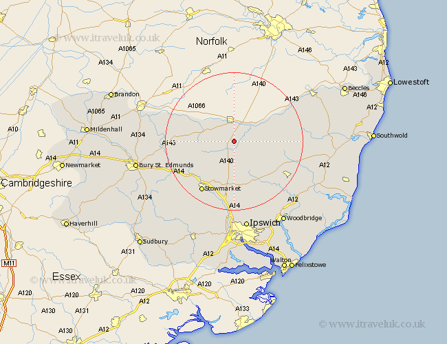
Suffolk Map Showing Location of Yaxley
Population: 426
District: Mid Suffolk
Easting: 612401 Northing: 273349
Latitude: 52.32 Longitude: 1.12
 = Yaxley
District: Mid Suffolk
Easting: 612401 Northing: 273349
Latitude: 52.32 Longitude: 1.12
= Yaxley
This Yaxley map below is supplied by Google. Use the tools in the top left corner to zoom into street level or zoom out for a road map, you may also need to zoom in to see Yaxley on the map. Click and drag the map to move around. If the map fails to load try and refresh your browser or zoom in or out (+ or -).
Update - it seems Google no longer allow people to use their maps for free! This Yaxley map sometimes loads and sometimes gives a error. I am working on a solution.
Closest 30 Towns or Cities to Yaxley (Population over 500)
Eye 2.26km Thorndon 3.88km Gislingham 4.9km Wortham 5.85km Hoxne 6.76km Botesdale 7.04km Mendlesham 8.16km Bacton 8.78km Redgrave 9.68km Stradbroke 10.2km Worlingworth 10.64km Debenham 12.01km Fressingfield 12.99km Old Newton 13.04km Hopton 13.64km Dennington 13.65km Hepworth 13.72km Badwell Ash 14.1km Haughley 14.35km Stanton 14.73km Barningham 15.18km Elmswell 16.47km Laxfield 17.1km Stowmarket 17.39km Bardwell 18.13km Framlingham 18.47km Woolpit 18.47km Norton 18.55km Ixworth 19.35km Pakenham 20.06km