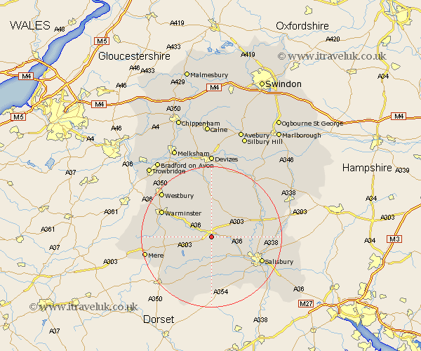
Wiltshire Map Showing Location of Wylye
Population: 419
District: Salisbury
Easting: 401166 Northing: 137172
Latitude: 51.13 Longitude: -1.98
 = Wylye
District: Salisbury
Easting: 401166 Northing: 137172
Latitude: 51.13 Longitude: -1.98
= Wylye
This Wylye map below is supplied by Google. Use the tools in the top left corner to zoom into street level or zoom out for a road map, you may also need to zoom in to see Wylye on the map. Click and drag the map to move around. If the map fails to load try and refresh your browser or zoom in or out (+ or -).
Update - it seems Google no longer allow people to use their maps for free! This Wylye map sometimes loads and sometimes gives a error. I am working on a solution.
Closest 30 Towns or Cities to Wylye (Population over 500)
Steeple Langford 3.49km Longford 3.49km Codford 5.01km Dinton 5.56km Shrewton 8.04km South Newton 8.94km Fovant 9.34km Wilton 9.86km Tisbury 10.18km Heytesbury 10.83km Hindon 11.11km Lark Hill 12.89km West Lavington 13.03km Broad Chalke 13.43km Bishopstone 14.21km Amesbury 14.44km Coombe Bissett 14.5km Combebissett 14.5km Bishop's Knoyle 14.79km East Knoyle 14.79km Longbridge Deverill 15.56km Warminster 15.79km Salisbury 15.81km New Sarum 15.81km Semley 16.1km Durrington 16.1km Lavington 16.68km Market Lavington 16.68km Winterbourne 16.7km Winterbourne Dauntsey 16.7km