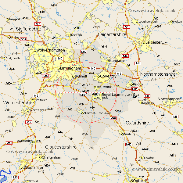
Warwickshire Map Showing Location of Wroxall
Population: 94
District: Warwick
Easting: 422719 Northing: 268828
Latitude: 52.32 Longitude: -1.67
 = Wroxall
District: Warwick
Easting: 422719 Northing: 268828
Latitude: 52.32 Longitude: -1.67
= Wroxall
This Wroxall map below is supplied by Google. Use the tools in the top left corner to zoom into street level or zoom out for a road map, you may also need to zoom in to see Wroxall on the map. Click and drag the map to move around. If the map fails to load try and refresh your browser or zoom in or out (+ or -).
Update - it seems Google no longer allow people to use their maps for free! This Wroxall map sometimes loads and sometimes gives a error. I am working on a solution.
Closest 30 Towns or Cities to Wroxall (Population over 500)
Shrewley 1.86km Hatton 2.18km Rowington 2.27km Temple Balsall 5.67km Lapworth 5.96km Claverdon 6km Kenilworth 6.77km Warwick 6.78km Henley in Arden 7.75km Knowle 8.68km Leamington Spa 9.25km Royal Leamington Spa 9.25km Leamington 9.25km Berkswell 9.53km Berkeswell 9.53km Wootton Wawen 10.06km Barford 10.32km Bearley 10.32km Snitterfield 10.32km Ullenhall 10.37km Stoneleigh 10.84km Hampton in Arden 11.35km Whitnash 12.61km Aston Cantlow 12.97km Bishops Tachbrook 12.97km Meriden 13.4km Baginton 13.64km Solihull 13.65km Allesley 13.65km Coventry 13.65km