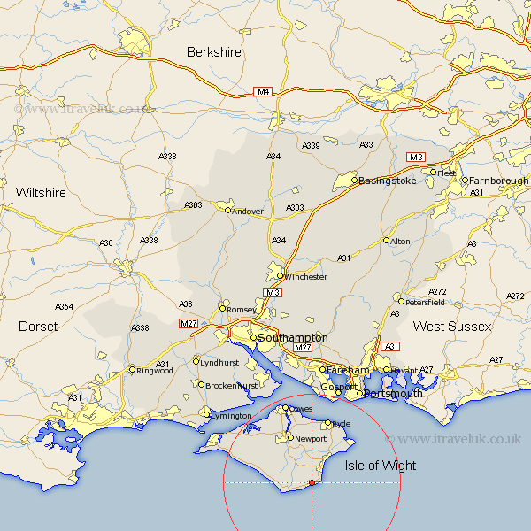
Hampshire Map Showing Location of Wroxall
Population: 1630
Area Size (ha): 48
Easting: 455431 Northing: 78166
Latitude: 50.6 Longitude: -1.22
 = Wroxall
Area Size (ha): 48
Easting: 455431 Northing: 78166
Latitude: 50.6 Longitude: -1.22
= Wroxall
This Wroxall map below is supplied by Google. Use the tools in the top left corner to zoom into street level or zoom out for a road map, you may also need to zoom in to see Wroxall on the map. Click and drag the map to move around. If the map fails to load try and refresh your browser or zoom in or out (+ or -).
Update - it seems Google no longer allow people to use their maps for free! This Wroxall map sometimes loads and sometimes gives a error. I am working on a solution.
Closest 30 Towns or Cities to Wroxall (Population over 500)
Ventnor 2.35km Jentnor 2.35km Godshill 3km Shanklin 3km Niton 5.06km Sandown 7.28km Rookley 7.28km Chale 7.3km Newchurch 7.51km Arreton 7.78km Shorwell 10.11km Brading 10.39km Newport 12.07km Brightstone 12.33km Brighstone 12.33km Wootton 13.03km St. Helens 13.17km St Helens 13.17km Saint Helens 13.17km Bembridge 13.2km Calbourne 14.91km Ryde 15.24km Seaview 15.36km Northwood 16.41km Shalfleet 17.05km East Cowes 17.68km Gurnard 18.11km Cowes 19.44km Lee-on-Solent 22.27km Lee on Solent 22.27km