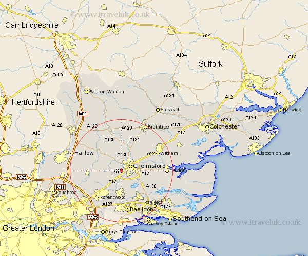
Essex Map Showing Location of Writtle
Population: 5206
Area Size (ha): 116
District: Chelmsford
Easting: 568074 Northing: 204850
Latitude: 51.72 Longitude: 0.43
 = Writtle
Area Size (ha): 116
District: Chelmsford
Easting: 568074 Northing: 204850
Latitude: 51.72 Longitude: 0.43
= Writtle
This Writtle map below is supplied by Google. Use the tools in the top left corner to zoom into street level or zoom out for a road map, you may also need to zoom in to see Writtle on the map. Click and drag the map to move around. If the map fails to load try and refresh your browser or zoom in or out (+ or -).
Update - it seems Google no longer allow people to use their maps for free! This Writtle map sometimes loads and sometimes gives a error. I am working on a solution.
Closest 30 Towns or Cities to Writtle (Population over 500)
Galleywood 2.95km Margaretting 3.89km Chelmsford 3.91km Great Baddow 4.95km Roxwell 5.06km Broomfield 6.01km Ingatestone 6.54km Stock 7.42km Great Waltham 7.49km West Hanningfield 8.73km Little Baddow 9.37km Danbury 9.37km Boreham 9.77km East Hanningfield 9.78km Little Waltham 9.88km High Easter 10.89km Mountnessing 10.91km South Hanningfield 10.91km Rettendon 10.94km Bickacre 10.98km Bicknacre 10.98km Billericay 11.18km Ramsden Heath 11.18km Fyfield 11.63km High Ongar 11.63km Kelvedon Hatch 11.74km Terling 12.26km Great Leighs 12.51km Chipping Ongar 12.77km Hatfield Peverel 13.66km