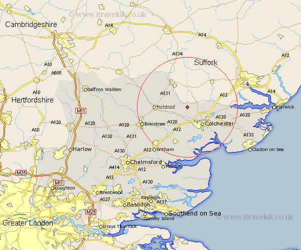
Essex Map Showing Location of Wormingford
Population: 459
District: Colchester
Easting: 593543 Northing: 231740
Latitude: 51.95 Longitude: 0.82
 = Wormingford
District: Colchester
Easting: 593543 Northing: 231740
Latitude: 51.95 Longitude: 0.82
= Wormingford
This Wormingford map below is supplied by Google. Use the tools in the top left corner to zoom into street level or zoom out for a road map, you may also need to zoom in to see Wormingford on the map. Click and drag the map to move around. If the map fails to load try and refresh your browser or zoom in or out (+ or -).
Update - it seems Google no longer allow people to use their maps for free! This Wormingford map sometimes loads and sometimes gives a error. I am working on a solution.
Closest 30 Towns or Cities to Wormingford (Population over 500)
Fordham 3.87km West Bergholt 3.88km Great Horkesley 3.9km Horkesley 3.9km Chapel 5.05km Chappel 5.05km Wakes Colne 5.88km Boxted 6.85km Great Tey 7.2km Earls Colne 8.21km Colchester 9.36km Marks Tey 9.54km Copford 11.18km Dedham 11.42km Bulmer 11.76km Ardleigh 12.01km Halstead 12.56km Birch 12.98km Coggeshall 13.02km Feering 13.07km Layer de la Haye 13.18km Rowhedge 14.4km Lawford 14.97km Wyvenhoe 15.15km Winehoe 15.15km Wivenhoe 15.15km Kelvedon 15.24km Fingringhoe 15.25km Castle Hedingham 15.3km Stisted 15.59km