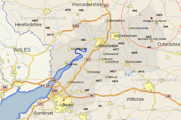
Gloucestershire Map Showing Location of Blockley
Population: 1997
District: Cotswold
Easting: 417154 Northing: 235440
Latitude: 52.02 Longitude: -1.75
 = Blockley
District: Cotswold
Easting: 417154 Northing: 235440
Latitude: 52.02 Longitude: -1.75
= Blockley
This Blockley map below is supplied by Google. Use the tools in the top left corner to zoom into street level or zoom out for a road map, you may also need to zoom in to see Blockley on the map. Click and drag the map to move around. If the map fails to load try and refresh your browser or zoom in or out (+ or -).
Update - it seems Google no longer allow people to use their maps for free! This Blockley map sometimes loads and sometimes gives a error. I am working on a solution.
Closest 30 Towns or Cities to Blockley (Population over 500)
Chipping Campden 2.93km Ebrington 3.87km Moreton in Marsh 5.05km Moreton in the Marsh 5.05km Moreton-in-Marsh 5.05km Mickleton 7.49km Stow-on-the-Wold 9.34km Stow on the Wold 9.34km Dumbleton 14.83km Winchcomb 15.58km Winchcombe 15.58km Bourton-on-the-Water 16.68km Bourton on the Water 16.68km Bledington 16.85km Alderton 17.51km Northleach 20.9km Andoversford 21.59km Southam 22.54km Bishops Cleeve 22.92km Withington 24.58km Ashchurch 25.17km Swindon 25.7km Cheltenham 26.27km Chedworth 26.67km Charlton Kings 27.38km Tewkesbury 27.44km Leckhampton 28.29km Bibury 30.01km Shurdington 30.17km Staverton 30.64km