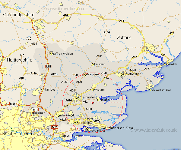
Essex Map Showing Location of Woodham Mortimer
Population: 502
District: Maldon
Easting: 581953 Northing: 203473
Latitude: 51.7 Longitude: 0.63
 = Woodham Mortimer
District: Maldon
Easting: 581953 Northing: 203473
Latitude: 51.7 Longitude: 0.63
= Woodham Mortimer
This Woodham Mortimer map below is supplied by Google. Use the tools in the top left corner to zoom into street level or zoom out for a road map, you may also need to zoom in to see Woodham Mortimer on the map. Click and drag the map to move around. If the map fails to load try and refresh your browser or zoom in or out (+ or -).
Update - it seems Google no longer allow people to use their maps for free! This Woodham Mortimer map sometimes loads and sometimes gives a error. I am working on a solution.
Closest 30 Towns or Cities to Woodham Mortimer (Population over 500)
Woodham Mortimer 0km Purleigh 3.88km Malden 3.91km Maldon 3.91km Bickacre 3.92km Bicknacre 3.92km Cold Norton 4.36km Danbury 4.59km Heybridge 5.06km Little Baddow 5.9km Woodham Ferrers 6.02km East Hanningfield 6.84km Latchingdon 7.83km Latchingdon and Snoreham 7.83km Snoreham 7.83km Rettendon 8km North Fambridge 8.18km Fambridge 8.18km Goldhanger 8.85km Great Baddow 9.19km Witham 9.26km Boreham 9.38km Hatfield Peverel 9.54km Wickham Bishops 9.54km Althorne 9.78km Tolleshunt Major 10.73km West Hanningfield 10.74km South Hanningfield 10.94km Chelmsford 10.98km Galleywood 11.49km