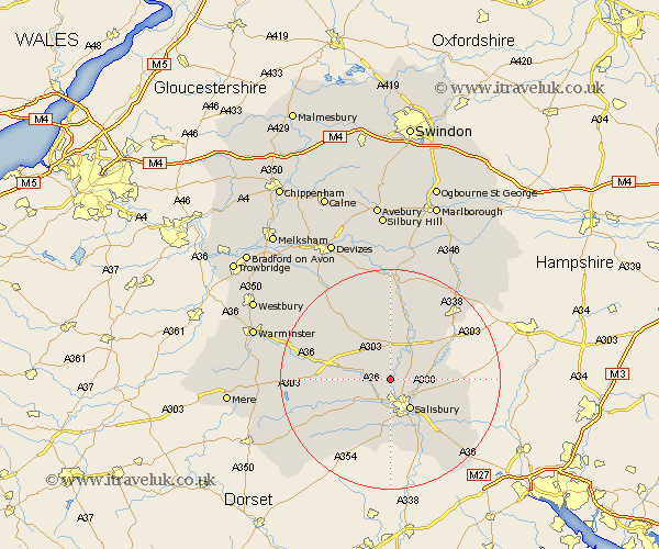
Wiltshire Map Showing Location of Woodford
Population: 458
District: Salisbury
Easting: 411664 Northing: 135339
Latitude: 51.12 Longitude: -1.83
 = Woodford
District: Salisbury
Easting: 411664 Northing: 135339
Latitude: 51.12 Longitude: -1.83
= Woodford
This Woodford map below is supplied by Google. Use the tools in the top left corner to zoom into street level or zoom out for a road map, you may also need to zoom in to see Woodford on the map. Click and drag the map to move around. If the map fails to load try and refresh your browser or zoom in or out (+ or -).
Update - it seems Google no longer allow people to use their maps for free! This Woodford map sometimes loads and sometimes gives a error. I am working on a solution.
Closest 30 Towns or Cities to Woodford (Population over 500)
South Newton 2.98km Wilton 4.38km Winterbourne 6.11km Winterbourne Dauntsey 6.11km Amesbury 6.56km New Sarum 6.56km Salisbury 6.56km Steeple Langford 7.22km Longford 7.22km Lark Hill 7.5km Idmiston 8.35km Durrington 8.75km Shrewton 8.75km Combebissett 9.35km Coombe Bissett 9.35km Odstock 9.91km Bulford 10.36km Britford 10.38km Dinton 11.11km Alderbury 11.61km Figheldean 11.65km Bishopstone 12.06km Winterslow 12.22km Farley 12.84km Broad Chalke 13.13km Netheravon 13.43km Fovant 13.8km Downton 14.74km Enford 15km Codford 15.56km