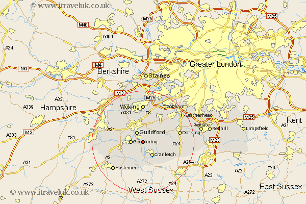
Surrey Map Showing Location of Wonersh
Population: 4827
Area Size (ha): 202
District: Waverley
Easting: 502497 Northing: 143754
Latitude: 51.18 Longitude: -0.53
 = Wonersh
Area Size (ha): 202
District: Waverley
Easting: 502497 Northing: 143754
Latitude: 51.18 Longitude: -0.53
= Wonersh
This Wonersh map below is supplied by Google. Use the tools in the top left corner to zoom into street level or zoom out for a road map, you may also need to zoom in to see Wonersh on the map. Click and drag the map to move around. If the map fails to load try and refresh your browser or zoom in or out (+ or -).
Update - it seems Google no longer allow people to use their maps for free! This Wonersh map sometimes loads and sometimes gives a error. I am working on a solution.
Closest 30 Towns or Cities to Wonersh (Population over 500)
Bramley 1.16km Shalford 2.97km Saint Martha 3.89km St. Martha 3.89km St Martha 3.89km Chilworth 3.89km Albury 3.95km Guildford 4.38km Guilford 4.38km Goldaming 4.65km Godalming 4.65km Shere 5km Cranleigh 6.56km Milford 7.21km Compton 7.21km West Clandon 7.77km Witley 8.92km Ewhurst 8.92km Abinger 9.29km Hambledon 9.41km Puttenham 9.48km Dunsfold 9.55km East Horsley 10.17km Horsley 10.17km Wotton 10.62km Chiddingfold 10.94km West Horsley 10.94km Send 11.12km Alfold 11.18km Ripley 11.65km