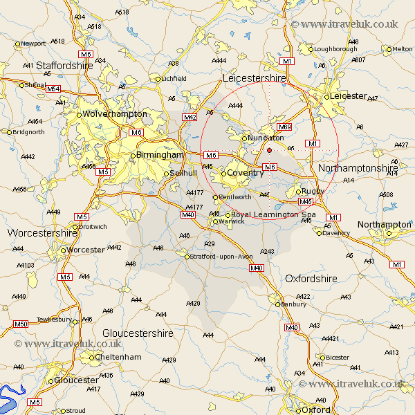
Warwickshire Map Showing Location of Wolvey
Population: 1741
District: Rugby
Easting: 443004 Northing: 287493
Latitude: 52.48 Longitude: -1.37
 = Wolvey
District: Rugby
Easting: 443004 Northing: 287493
Latitude: 52.48 Longitude: -1.37
= Wolvey
This Wolvey map below is supplied by Google. Use the tools in the top left corner to zoom into street level or zoom out for a road map, you may also need to zoom in to see Wolvey on the map. Click and drag the map to move around. If the map fails to load try and refresh your browser or zoom in or out (+ or -).
Update - it seems Google no longer allow people to use their maps for free! This Wolvey map sometimes loads and sometimes gives a error. I am working on a solution.
Closest 30 Towns or Cities to Wolvey (Population over 500)
Bulkington 3.86km Shilton 4.34km Bedworth 7.02km Nuneaton 7.72km Brinklow 9.33km Keresley 12.59km Corley 12.96km Wolston 13.01km Brandon 13.16km Long Lawford 13.73km Mancetter 13.75km Allesley 14.46km Coventry 14.46km Arley 14.79km Fillongley 14.79km Clifton on Dunsmore 15.07km Clifton 15.07km Clifton upon Dunsmore 15.07km Clifton-on-Dunsmore 15.07km Rugby 15.19km Baginton 15.19km Atherstone 15.49km Dunchurch 17.61km Meriden 17.83km Stoneleigh 17.98km Bubbenhall 18km Shustoke 18.15km Orton on the Hill 18.63km Orton 18.63km Orton-on-the-Hill 18.63km