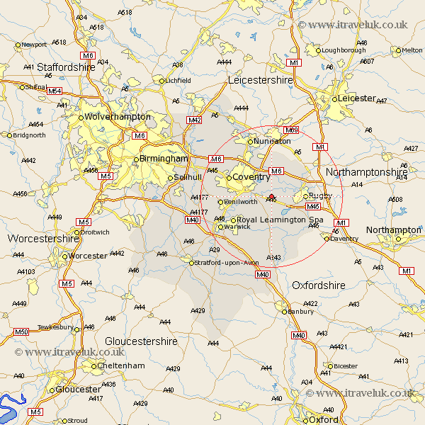
Warwickshire Map Showing Location of Wolston
Population: 2247
Area Size (ha): 54
District: Rugby
Easting: 441983 Northing: 274515
Latitude: 52.37 Longitude: -1.38
 = Wolston
Area Size (ha): 54
District: Rugby
Easting: 441983 Northing: 274515
Latitude: 52.37 Longitude: -1.38
= Wolston
This Wolston map below is supplied by Google. Use the tools in the top left corner to zoom into street level or zoom out for a road map, you may also need to zoom in to see Wolston on the map. Click and drag the map to move around. If the map fails to load try and refresh your browser or zoom in or out (+ or -).
Update - it seems Google no longer allow people to use their maps for free! This Wolston map sometimes loads and sometimes gives a error. I am working on a solution.
Closest 30 Towns or Cities to Wolston (Population over 500)
Brandon 1.13km Brinklow 4.34km Long Lawford 5.66km Bubbenhall 6.77km Baginton 6.79km Dunchurch 7.74km Rugby 9.05km Stoneleigh 9.24km Shilton 9.33km Long Itchington 11.12km Bulkington 11.35km Stockton 11.35km Clifton 11.46km Clifton on Dunsmore 11.46km Clifton upon Dunsmore 11.46km Clifton-on-Dunsmore 11.46km Bedworth 12.47km Keresley 12.59km Coventry 12.6km Allesley 12.6km Leamington 12.6km Royal Leamington Spa 12.6km Leamington Spa 12.6km Southam 12.98km Wolvey 13.01km Kenilworth 13.71km Corley 14.61km Napton-on-the-Hill 15.51km Napton on the Hill 15.51km Napton 15.51km