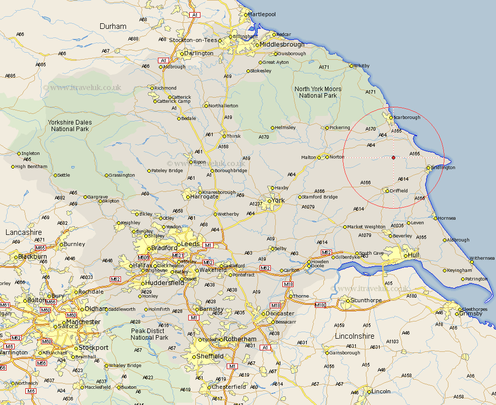
Yorkshire Map Showing Location of Wold Newton
Population: 291
Easting: 504529 Northing: 472030
Latitude: 54.13 Longitude: -0.4
 = Wold Newton
Easting: 504529 Northing: 472030
Latitude: 54.13 Longitude: -0.4
= Wold Newton
This Wold Newton map below is supplied by Google. Use the tools in the top left corner to zoom into street level or zoom out for a road map, you may also need to zoom in to see Wold Newton on the map. Click and drag the map to move around. If the map fails to load try and refresh your browser or zoom in or out (+ or -).
Update - it seems Google no longer allow people to use their maps for free! This Wold Newton map sometimes loads and sometimes gives a error. I am working on a solution.
Closest 30 Towns or Cities to Wold Newton (Population over 500)
Great Driffield 4.29km Willerby 6.44km Hunmanby 6.58km Sherburn 8.46km Kilham 9.51km Eastfield 11.12km Filey 11.17km Seamer 11.33km Cayton 11.33km Nafferton 13.01km Bridlington 13.22km Brompton 13.46km Driffield 14.24km Snainton 15.11km Bempton 15.2km Yedingham 15.93km Scalby 16.82km Scarborough 17.14km Wetwang 18.38km Flamborough 18.83km North Frodingham 19.31km Rillington 19.63km Beeford 20.47km Cranswick 20.5km Burniston 20.51km Skipsea 22.05km Cloughton 22.34km Dunnington 22.61km Thornton Dale 23.41km Thornton-le-Dale 23.41km