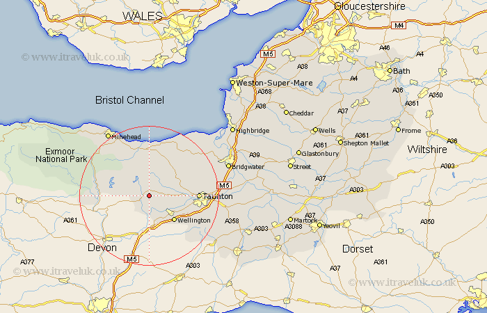
Somerset Map Showing Location of Wiveliscombe
Population: 1711
Area Size (ha): 56
District: Taunton Deane
Easting: 307686 Northing: 126877
Latitude: 51.03 Longitude: -3.32
 = Wiveliscombe
Area Size (ha): 56
District: Taunton Deane
Easting: 307686 Northing: 126877
Latitude: 51.03 Longitude: -3.32
= Wiveliscombe
This Wiveliscombe map below is supplied by Google. Use the tools in the top left corner to zoom into street level or zoom out for a road map, you may also need to zoom in to see Wiveliscombe on the map. Click and drag the map to move around. If the map fails to load try and refresh your browser or zoom in or out (+ or -).
Update - it seems Google no longer allow people to use their maps for free! This Wiveliscombe map sometimes loads and sometimes gives a error. I am working on a solution.
Closest 30 Towns or Cities to Wiveliscombe (Population over 500)
Wiveliscombe 0km Milverton 5.01km Oake 8.37km Bishops Lydeard 10.03km Wellington 10.19km Stogumber 11.18km Norton Fitzwarren 11.65km Williton 11.66km West Buckland 11.91km Taunton 13.99km Kingston 14.47km Trull 14.47km Watchet 14.88km Brushford 15.27km Pitminster 15.83km Dulverton 16.32km Nether Stowey 16.68km Spaxton 16.77km Carhampton 18.08km West Monkton 18.74km Durleigh 20.81km Stogursey 21.02km Stokscourey 21.02km Stoke Courcy 21.02km Creech St. Michael 21.06km Creech St Michael 21.06km Creech Saint Michael 21.06km Minehead 21.88km North Petherton 22.24km Hatch Beauchamp 22.84km