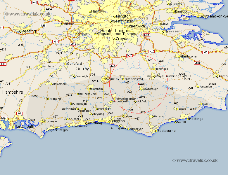
Sussex Map Showing Location of Withyham
Population: 2703
District: Wealden
Easting: 549405 Northing: 133777
Latitude: 51.08 Longitude: 0.13
 = Withyham
District: Wealden
Easting: 549405 Northing: 133777
Latitude: 51.08 Longitude: 0.13
= Withyham
This Withyham map below is supplied by Google. Use the tools in the top left corner to zoom into street level or zoom out for a road map, you may also need to zoom in to see Withyham on the map. Click and drag the map to move around. If the map fails to load try and refresh your browser or zoom in or out (+ or -).
Update - it seems Google no longer allow people to use their maps for free! This Withyham map sometimes loads and sometimes gives a error. I am working on a solution.
Closest 30 Towns or Cities to Withyham (Population over 500)
Hartfield 1.16km Crowborough 3.88km Rotherfield 8.05km Frant 9.31km East Grinstead 11.11km Buxted 11.12km Forest Row 11.64km Hadlow Down 11.66km Maresfield 11.66km Mayfield 12.34km Horsted Keynes 12.84km Fletching 13.14km Uckfield 13.17km Wadhurst 14.46km Framfield 14.82km Turners Hill 15.13km Newick 15.32km Ardingly 16.13km Lindfield 16.77km Chailey 16.92km Isfield 17.32km Heathfield 17.51km Balcombe 17.86km East Hoathly 18.67km Worth 18.72km Warbleton 19.71km Haywards Heath 19.74km Baywards Heath 19.74km Burwash 19.78km Cuckfield 20.06km