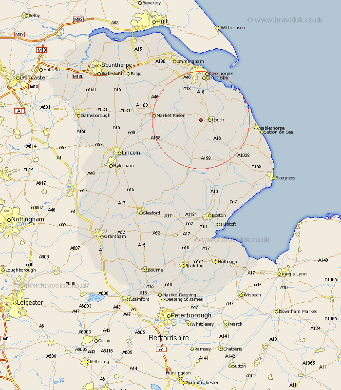
Lincolnshire Map Showing Location of Withcall
Population: 59
District: East Lindsey
Easting: 528625 Northing: 387308
Latitude: 53.37 Longitude: -0.07
 = Withcall
District: East Lindsey
Easting: 528625 Northing: 387308
Latitude: 53.37 Longitude: -0.07
= Withcall
This Withcall map below is supplied by Google. Use the tools in the top left corner to zoom into street level or zoom out for a road map, you may also need to zoom in to see Withcall on the map. Click and drag the map to move around. If the map fails to load try and refresh your browser or zoom in or out (+ or -).
Update - it seems Google no longer allow people to use their maps for free! This Withcall map sometimes loads and sometimes gives a error. I am working on a solution.
Closest 30 Towns or Cities to Withcall (Population over 500)
Louth 3.32km Legbourne 8.59km Fulstow 9.84km Grimoldby 9.95km binbrook 10.71km Manby 11.06km North Thoresby 11.17km North Coates 12.94km Tetney 13.38km Grainthorpe 14.91km North Somercotes 16.16km Holton le Clay 16.68km Waltham 16.82km Saltfleetby St. Clement 16.99km Saltfleetby St Clement 16.99km Saltfleetby 16.99km Saltfleetby Saint Clement 16.99km Saltfleet 17.48km Market Rasen 17.79km Wragby 18.06km Grimsby 18.56km Great Grimsby 18.56km Humberstone 18.66km Humberston 18.66km Banovallum 18.83km Horncastle 18.83km Holton 19.2km Laceby 19.67km Middle Rasen 19.99km Mareham-on-the-Hill 20.39km