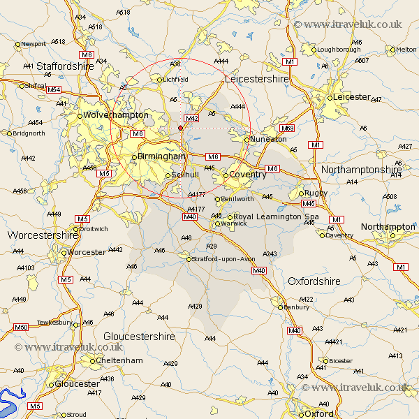
Warwickshire Map Showing Location of Wishaw
Population: 165
District: North Warwickshire
Easting: 418080 Northing: 294757
Latitude: 52.55 Longitude: -1.73
 = Wishaw
District: North Warwickshire
Easting: 418080 Northing: 294757
Latitude: 52.55 Longitude: -1.73
= Wishaw
This Wishaw map below is supplied by Google. Use the tools in the top left corner to zoom into street level or zoom out for a road map, you may also need to zoom in to see Wishaw on the map. Click and drag the map to move around. If the map fails to load try and refresh your browser or zoom in or out (+ or -).
Update - it seems Google no longer allow people to use their maps for free! This Wishaw map sometimes loads and sometimes gives a error. I am working on a solution.
Closest 30 Towns or Cities to Wishaw (Population over 500)
Kingsbury 3.38km Middleton 3.7km Water Orton 5.56km Sutton Coldfield 5.93km Nether Whitacre 5.93km Coleshill 6km Castle Bromwich 6.51km Hurley 6.76km Shustoke 8.76km Dordon 10.32km Polesworth 10.59km Bickenhill 11.18km Arley 11.57km Shuttington 12.16km Atherstone 12.53km Grendon 12.56km Fillongley 13.74km Mancetter 14.76km Hampton in Arden 14.99km Newton Regis 15.04km Newton 15.04km Meriden 15.19km Solihull 15.21km Orton-on-the-Hill 15.41km Orton on the Hill 15.41km Orton 15.41km Birmingham 15.48km Austrey 15.82km Corley 16.66km Berkeswell 18km