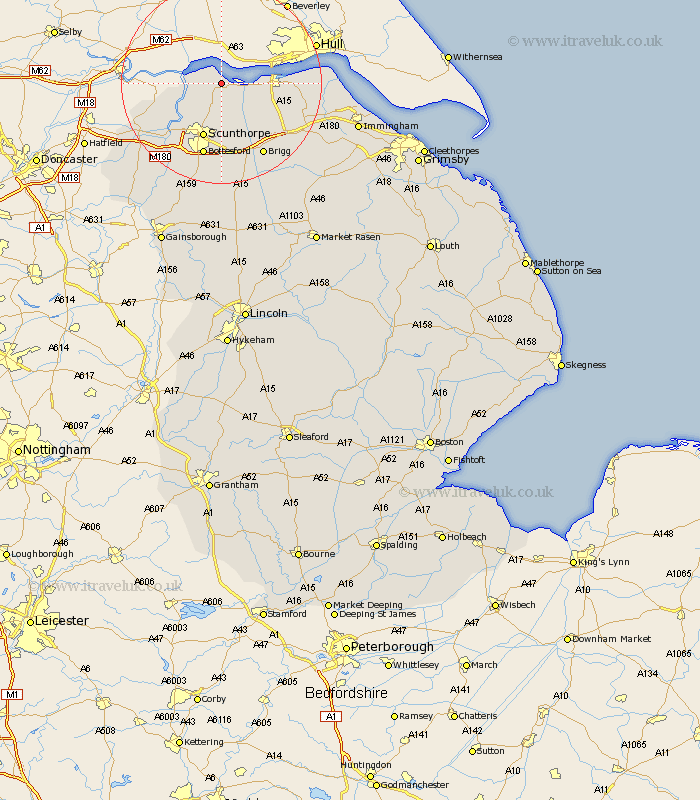
Lincolnshire Map Showing Location of Winteringham
Population: 989
Easting: 492452 Northing: 421695
Latitude: 53.68 Longitude: -0.6
 = Winteringham
Easting: 492452 Northing: 421695
Latitude: 53.68 Longitude: -0.6
= Winteringham
This Winteringham map below is supplied by Google. Use the tools in the top left corner to zoom into street level or zoom out for a road map, you may also need to zoom in to see Winteringham on the map. Click and drag the map to move around. If the map fails to load try and refresh your browser or zoom in or out (+ or -).
Update - it seems Google no longer allow people to use their maps for free! This Winteringham map sometimes loads and sometimes gives a error. I am working on a solution.
Closest 30 Towns or Cities to Winteringham (Population over 500)
Winteringham 0km Winterton 3.7km Burton upon Stather 6.62km Burton 6.62km South Ferriby 6.84km Appleby 7.72km Flixborough 9.22km Scunthorpe 11.59km Keadby 12.77km Broughton 13.38km Gunhouse 14.17km Gunness 14.17km Barrow on Humber 14.27km Barrow upon Humber 14.27km Barrow 14.27km Barrow-on-Humber 14.27km Barrow-upon-Humber 14.27km Bottesford 15.18km New Holland 15.48km Wrawby 15.67km Burringham 16.31km Brigg 16.7km Messingham 17km Crowle 17.02km Scawby 17.25km Goxhill 17.66km West Butterwick 17.82km Barnetby 18.5km Barnetby le Wold 18.5km Ulceby 19.07km