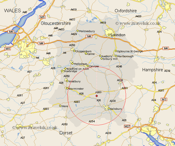
Wiltshire Map Showing Location of Winterbourne Stoke
Population: 200
District: Salisbury
Easting: 406993 Northing: 139034
Latitude: 51.15 Longitude: -1.9
 = Winterbourne Stoke
District: Salisbury
Easting: 406993 Northing: 139034
Latitude: 51.15 Longitude: -1.9
= Winterbourne Stoke
This Winterbourne Stoke map below is supplied by Google. Use the tools in the top left corner to zoom into street level or zoom out for a road map, you may also need to zoom in to see Winterbourne Stoke on the map. Click and drag the map to move around. If the map fails to load try and refresh your browser or zoom in or out (+ or -).
Update - it seems Google no longer allow people to use their maps for free! This Winterbourne Stoke map sometimes loads and sometimes gives a error. I am working on a solution.
Closest 30 Towns or Cities to Winterbourne Stoke (Population over 500)
Longford 2.98km Steeple Langford 2.98km Shrewton 3.7km South Newton 6.03km Lark Hill 6.89km Wilton 7.77km Amesbury 8.35km Dinton 9.43km Durrington 10.01km Codford 10.46km Bulford 10.83km Figheldean 11.01km Winterbourne Dauntsey 11.85km Winterbourne 11.85km Netheravon 12.32km Salisbury 12.33km New Sarum 12.33km Idmiston 12.92km West Lavington 13.12km Enford 13.12km Fovant 13.13km Combebissett 13.44km Coombe Bissett 13.44km Bishopstone 14.82km Broad Chalke 15km Odstock 15.32km Heytesbury 15.55km Tisbury 15.8km Market Lavington 15.92km Lavington 15.92km