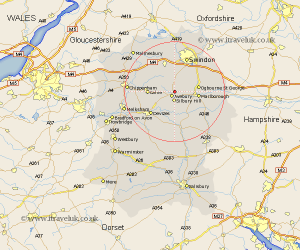
Wiltshire Map Showing Location of Winterbourne Monkton
Population: 147
District: Kennet
Easting: 410426 Northing: 170542
Latitude: 51.43 Longitude: -1.85
 = Winterbourne Monkton
District: Kennet
Easting: 410426 Northing: 170542
Latitude: 51.43 Longitude: -1.85
= Winterbourne Monkton
This Winterbourne Monkton map below is supplied by Google. Use the tools in the top left corner to zoom into street level or zoom out for a road map, you may also need to zoom in to see Winterbourne Monkton on the map. Click and drag the map to move around. If the map fails to load try and refresh your browser or zoom in or out (+ or -).
Update - it seems Google no longer allow people to use their maps for free! This Winterbourne Monkton map sometimes loads and sometimes gives a error. I am working on a solution.
Closest 30 Towns or Cities to Winterbourne Monkton (Population over 500)
Broad Town 5.68km Broad Hinton 5.68km Cherhill 7.18km Hilmarton 8.9km Hillmarton 8.9km Marlborough 9.43km Bishops Cannings 10.15km Wroughton 10.36km Calne 10.4km Wooton Bassett 11.65km Wootton Bassett 11.65km Chiseldon 11.85km Roundway 11.85km Lyneham 12.3km Bremhill 12.84km Devizes 13.09km Pewsey 13.11km Swindon 14.48km Lydiard Millicent 14.88km Wanborough 15.22km Christian Malford 15.72km Rowde 15.74km Urchfont 15.91km Brinkworth 15.93km Aldbourne 16.59km Purton 16.72km Upavon 16.84km Burbage 16.9km Ramsbury 17.33km Potterne 17.38km